
Search


Limit your search
- Public✖[remove]246
- cartographic246
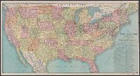
- Railroads--United States--Maps12
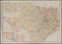
- Railroads--Texas--Maps6
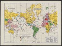
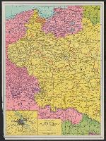
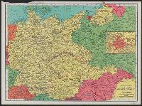
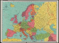
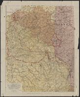
- World War, 1939-1945--Europe--Maps6
- Railroads--Kansas--Maps5
- Railroads--Mexico--Maps5
- Railroads--Canada--Maps4
- Railroads--Colorado--Maps4
- Railroads--West (U.S.)--Maps4
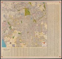
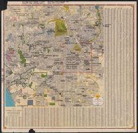
- Roads--California--Los Angeles Metropolitan Area--Maps4
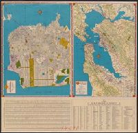
- Roads--California--San Francisco Bay Area--Maps4
- Shell Union Oil Corporation6
- Rand McNally and Company4
- Blanchard, Rufus, 1821-19043
- Shell Oil Company3
- Atchison, Topeka, and Santa Fe Railroad Company2
- Atchison, Topeka, and Santa Fe Railroad Company--Maps2
- Canadian Pacific Railway Company2
- Chicago, Milwaukee, and St. Paul Railway Company--Maps2
- Cia. de la Guia Oficial Mexicana S.A2
- Duluth, South Shore, and Atlantic Railway Company2
- Chicago :✖[remove]246
- New York :2
Current results range from 1853 to 1999