Skip to search
Skip to main content
Skip to first result
Search
You Searched For
Extent of Digitization
Completely digitized
Access
Public
Format
cartographic
Creator
Great Britain. War Office. General Staff. Geographical Section
Publication Place
London :
New Search
Search Results
Creator:
Published / Created:
1944
Call Number:
331 Ei61 1944
Container / Volume:
BRBL_00080
Image Count:
1
Resource Type:
Maps, Atlases & Globes
Alternative Title:
G.S.G.S. ; 4458 and GSGS (Series) ; 4458.
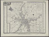
Description:
Alpha-numeric grid., Copied from a Dutch plan., Important streets and buildings are named., and In upper margin: Holland.
Publisher:
War Office,
Subject (Geographic):
Eindhoven (Netherlands)--Maps
Found in:
Beinecke Rare Book and Manuscript Library > Eindhoven.
Creator:
Published / Created:
1943
Call Number:
343gmp 1943
Container / Volume:
BRBL_00093
Image Count:
1
Resource Type:
Maps, Atlases & Globes
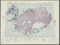
Alternative Title:
Europe (Air) 1:600,000., Geographical Section, General Staff ; no. 4140, and GSGS (Series) ; no. 4140.
Description:
"Northern zone layer system.", Fiber backing., and Relief shown by contour lines, hypsometric tinting and spot heights.
Publisher:
War Office,
Subject (Geographic):
Iceland--Maps
Found in:
Beinecke Rare Book and Manuscript Library > Iceland 1:600,000 Europe (Air), sheet N.W. 63 1/3 24.
Creator:
Published / Created:
1940
Call Number:
342 1944
Container / Volume:
BRBL_00092
Image Count:
2
Resource Type:
Maps, Atlases & Globes
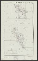
Alternative Title:
G.S.G.S. ; 4139 and GSGS (Series) ; 4139.
Description:
Contents: North sheet -- South sheet., Contours at 50 meters interval., Copied from a Danish map of 1932., Four classes of roads are shown., and Military grid.
Publisher:
War Office,
Subject (Geographic):
Faroe Islands--Maps
Found in:
Beinecke Rare Book and Manuscript Library > The Faeroes / Drawn at the War Office, 1940, from a Danish map of 1932.
Branch:v1.61.6 ,Deployed:2024-06-12T09:55:31-04:00