Skip to search
Skip to main content
Skip to first result
Search
You Searched For
"United States--Maps"
Access
Public
Format
cartographic
Genre
Maps
Publication Place
London :
New Search
Search Results
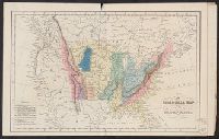
Published / Created:
March 15, 1832
Call Number:
75 1850
Container / Volume:
BRBL_00689
Image Count:
2
Resource Type:
Maps, Atlases & Globes
Alternative Title:
Atlas of the United States of North America.
Description:
From An atlas of the United States of North America ... London : Published by Simpkin & Marshall and Thomas Wardle, Philadelphia, 1832. and Sheet measures 27.3 x 42 cm. Bound with plate "Geological sections of the United States." Cross Collection no. 187.
Publisher:
I.T. Hinton & Simpkin & Marshall,
Subject (Geographic):
United States --Maps
Subject (Name):
Fenner, Sears & Co, Hinton, Isaac Taylor, 1799-1847, and Simpkin and Marshall
Subject (Topic):
Geology--United States --Maps
Found in:
Beinecke Rare Book and Manuscript Library > A geological map of the United States [cartographic material].
Creator:
Published / Created:
[1875?].
Call Number:
75 1875B
Container / Volume:
BRBL_00405
Image Count:
1
Resource Type:
Maps, Atlases & Globes
Publisher:
Edward Stanford,
Subject (Geographic):
United States --Maps
Found in:
Beinecke Rare Book and Manuscript Library > Stanford's handy map of the United States : distinguishing the unsettled territories; the railways; the cities & towns according to population; also the state capitals & county towns.
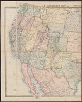
Published / Created:
May 2nd, 1870.
Call Number:
75 1870C
Container / Volume:
BRBL_00404
Image Count:
2
Resource Type:
Maps, Atlases & Globes
Description:
Accompanying covers. and Inset: Newfoundland, Nova Scotia, Cape Breton & Prince Edward Is.
Publisher:
Edward Stanford,
Subject (Geographic):
United States --Maps
Found in:
Beinecke Rare Book and Manuscript Library > Stanford's map of the United States and part of the Dominion of Canada.
Published / Created:
1861 May 13
Call Number:
75 1861A
Container / Volume:
BRBL_00402
Image Count:
1
Resource Type:
Maps, Atlases & Globes
Publisher:
Edward Stanford,
Subject (Geographic):
United States --Maps
Found in:
Beinecke Rare Book and Manuscript Library > Stanford's new hand map of the United States of North America / Constructed and engrd. at Stanford's Geographical Establishmt. London.
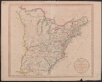
Published / Created:
1801
Call Number:
75 1801
Container / Volume:
BRBL_00727
Image Count:
1
Resource Type:
Maps, Atlases & Globes
Publisher:
G.G. & J. Robinson and J. Mawman,
Subject (Geographic):
United States --Maps
Found in:
Beinecke Rare Book and Manuscript Library > States of America, drawn from the best authorities / by. J: Russell.
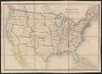
Published / Created:
1845
Call Number:
75 1845C
Container / Volume:
BRBL_00399
Image Count:
2
Resource Type:
Maps, Atlases & Globes
Publisher:
James Wyld,
Subject (Geographic):
United States --Maps
Found in:
Beinecke Rare Book and Manuscript Library > The United States & The Relative Position of the Oregon & Texas.
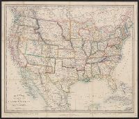
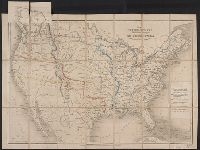
Creator:
Published / Created:
[1870?]
Call Number:
75 1870B
Container / Volume:
BRBL_00404
Image Count:
1
Resource Type:
Maps, Atlases & Globes
Alternative Title:
United States and the relative position of the Oregon and Texas
Description:
In lower right margin: 37., Inset: England, Wales & Scotland -- same scale., and Map of the United States. Relief shown by hachures.
Publisher:
Published by Jas. Wyld, Geographer to the Queen & H.R.H. Prince Albert, Charing Cross East,
Subject (Geographic):
United States --Maps
Found in:
Beinecke Rare Book and Manuscript Library > The United States & the relative position of the Oregon & Texas / by James Wyld, Charing Cross East.
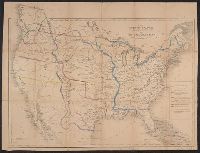
Creator:
Published / Created:
[1857]
Call Number:
75 1857A
Container / Volume:
BRBL_00401
Image Count:
1
Resource Type:
Maps, Atlases & Globes
Alternative Title:
United States and the relative position of the Oregon and Texas
Description:
Inset: Great Britain, on the same scale. and Map of the United States. Relief shown by hachures.
Publisher:
Jas. Wyld,
Subject (Geographic):
United States --Maps
Found in:
Beinecke Rare Book and Manuscript Library > The United States & the relative position of the Oregon & Texas / by James Wyld, Charing Cross East.
Creator:
Published / Created:
1861
Call Number:
75 1861G
Container / Volume:
BRBL_00402
Image Count:
1
Resource Type:
Maps, Atlases & Globes
Description:
"26.", Hand col., Relief shown by hachures., and Shows natural features and populated places.
Publisher:
Edward Stanford,
Subject (Geographic):
United States --Maps
Found in:
Beinecke Rare Book and Manuscript Library > The United States of North America / constructed & engrd.at Stanford's Geographical Establishment.
Branch:v1.61.6 ,Deployed:2024-06-12T09:55:31-04:00