Search
You Searched For
Search Results
- Published / Created:
- 1841
- Call Number:
- 32 L84 1841
- Container / Volume:
- BRBL_00050
- Image Count:
- 1
- Resource Type:
- Maps, Atlases & Globes
- Found in:
- Beinecke Rare Book and Manuscript Library > 24 miles round London.
- Published / Created:
- 1812
- Call Number:
- 29 1812
- Container / Volume:
- BRBL_00028
- Image Count:
- 1
- Resource Type:
- Maps, Atlases & Globes
- Found in:
- Beinecke Rare Book and Manuscript Library > A Chart of the Great Ethiopian Archipelago in the Indian Seas ... M.D. Apres. For the History of Mauritus by Ch. Grant ... 1801 S.J. Neele Sculp. 1812.
- Published / Created:
- 1808
- Call Number:
- 89cea 1808
- Container / Volume:
- BRBL_00658
- Image Count:
- 4
- Resource Type:
- Maps, Atlases & Globes
- Found in:
- Beinecke Rare Book and Manuscript Library > A General Chart of the West Indies and Gulf of Mexico, describing the Gulf and Winward Passages, Coasts of Florida, Louisiana and Mexico, Bay of Honduras and Musquito Shore ... Drawn from the surveys taken by Mr. Geo Gaulo ... by Foss Dessiou.
- Published / Created:
- 1801
- Call Number:
- 3191 1801
- Container / Volume:
- BRBL_00041
- Image Count:
- 1
- Resource Type:
- Maps, Atlases & Globes
- Found in:
- Beinecke Rare Book and Manuscript Library > A Map of England, Wales, & Scotland ... by W. Faden ...
- Published / Created:
- 1866
- Call Number:
- 304 1866
- Container / Volume:
- BRBL_00033
- Image Count:
- 1
- Resource Type:
- Maps, Atlases & Globes
- Found in:
- Beinecke Rare Book and Manuscript Library > A Map of the Germanic Confederation as it existed in June, 1866 and of Central Europe.
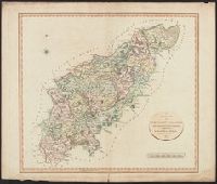
- Published / Created:
- 1811
- Call Number:
- 3247 1811
- Container / Volume:
- BRBL_00066
- Image Count:
- 1
- Resource Type:
- Maps, Atlases & Globes
- Found in:
- Beinecke Rare Book and Manuscript Library > A New Map of Northamptonshire, Divided Into Hundreds ... by John Cary.
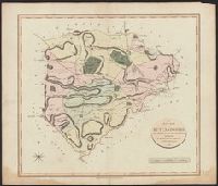
- Published / Created:
- 1811
- Call Number:
- 3251 1811
- Container / Volume:
- BRBL_00067
- Image Count:
- 1
- Resource Type:
- Maps, Atlases & Globes
- Found in:
- Beinecke Rare Book and Manuscript Library > A New Map of Rutlandshire, Divided into Hundreds ... By John Cary.
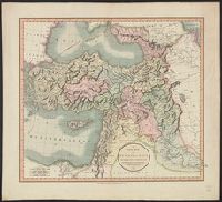
- Published / Created:
- 1801
- Call Number:
- 501 1801
- Container / Volume:
- BRBL_00276
- Image Count:
- 1
- Resource Type:
- Maps, Atlases & Globes
- Found in:
- Beinecke Rare Book and Manuscript Library > A New Map of Turkey in Asia divided into its provinces, from the best authorities. By John Cary, Engraver.
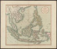
- Published / Created:
- 1811
- Call Number:
- 27 1811
- Container / Volume:
- BRBL_00023A
- Image Count:
- 1
- Resource Type:
- Maps, Atlases & Globes
- Found in:
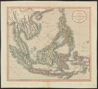
- Beinecke Rare Book and Manuscript Library > A New Map of the East India Isles ... John Cary, Engraver.
- Published / Created:
- 1801
- Call Number:
- 27 1801
- Container / Volume:
- BRBL_00023A
- Image Count:
- 1
- Resource Type:
- Maps, Atlases & Globes
- Found in:
- Beinecke Rare Book and Manuscript Library > A New Map of the East India Isles. From the Latest Authorities. By John Cary, Engraver.