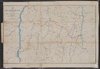
1. Map of portions of New York and New England showing the routes of the Dutchess and Columbia Creator: Barnes, Oliver W Published / Created: 1868 Call Number: 771 1868A Container / Volume: BRBL_00479 Image Count: 1 Resource Type: Maps, Atlases & Globes Subject (Geographic): Massachusetts--Maps Subject (Topic): Railroads--Massachusetts--Maps Found in: Beinecke Rare Book and Manuscript Library > Map of portions of New York and New England showing the routes of the Dutchess and Columbia & Connecticut Western Rail Roads / Oliver W. Barnes.