Search
You Searched For
Search Results
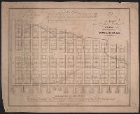
- Published / Created:
- 1804
- Call Number:
- 773 J487 1804
- Container / Volume:
- BRBL_00496
- Image Count:
- 1
- Resource Type:
- Maps, Atlases & Globes
- Found in:
- Beinecke Rare Book and Manuscript Library > A map of that part of the town of Jersey, commonly called Powles Hook / surveyed by Joseph F. Mangin.
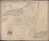
- Published / Created:
- 1815
- Call Number:
- 771 1815
- Container / Volume:
- BRBL_00478
- Image Count:
- 1
- Resource Type:
- Maps, Atlases & Globes
- Found in:
- Beinecke Rare Book and Manuscript Library > Map of the Southern part of the State of New York including Long Island, the Sound, the State of Connecticut part of the State of New Jersey and Island's adjacent. Compiled from actual surveys.
- Published / Created:
- [1804?]
- Call Number:
- 771 1804
- Container / Volume:
- BRBL_00477
- Image Count:
- 1
- Resource Type:
- Maps, Atlases & Globes
- Found in:
- Beinecke Rare Book and Manuscript Library > Map of the State of New York by Simeon DeWitt, Surveyor General ...
- Creator:
- Tanesse, I
- Published / Created:
- 1817
- Call Number:
- 795 N47 1817
- Container / Volume:
- BRBL_00522
- Image Count:
- 1
- Resource Type:
- Maps, Atlases & Globes
- Found in:
- Beinecke Rare Book and Manuscript Library > Plan of the city and suburbs of New Orleans : from an actual survey made in 1815 / by I. Tanesse ; Rollinson, sc.