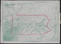
1. Iron, railroad, canal and coal map of Pennsylvania, &c. : showing the relative position of the Creator: Sheafer, P. W. (Peter Wenrick), 1819- Published / Created: 1867 Call Number: 774G 1867 Container / Volume: BRBL_00501 Image Count: 1 Resource Type: Maps, Atlases & Globes Found in: Beinecke Rare Book and Manuscript Library > Iron, railroad, canal and coal map of Pennsylvania, &c. : showing the relative position of the various anthracite and bituminous coal fields, the railroads, canals and navigable waters by which they are connected forming their respective avenues to market