
Search


Limit your search
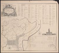
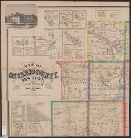
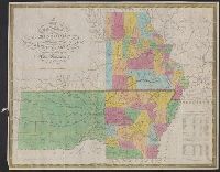
- Public126
- cartographic✖[remove]126
- English✖[remove]126
- French1
- German1
- Spanish; Castilian1
- Young, J. H. (James Hamilton)9
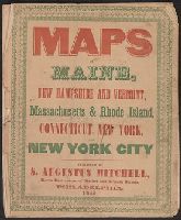
- Mitchell, S. Augustus (Samuel Augustus), 1792-18688
- National Railway Publication Company3
- O.W. Gray & Son3
- Tanner, Henry Schenck, 1786-18583
- Allen, Lane & Scott2
- Austin, Stephen F. (Stephen Fuller), 1793-18362
- Howell, Reading, 1743-18272
- Beers, S. N1
- Berghaus, Heinrich Karl Wilhelm, 1797-18841
- Railroads--United States--Maps11
- Mexican War, 1846-1848--Maps3
- Monterrey, Battle of, Monterrey, Mexico, 1846--Maps3
- Railroads--Canada--Maps3
- Land grants--Texas--Maps2
- Railroads--Pennsylvania--Maps2
- Railroads--Texas--Maps2
- Administrative and political divisions1
- Canals--Pennsylvania--Maps1
- Coal--Pennsylvania--Maps1
- Philadelphia :✖[remove]126
- Pottsville, Pa. ;1
- St. Louis :1