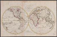
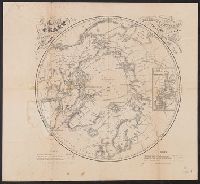
In bottom left margin: Printed by Wm. Duffee., In top margin: American atlas., Includes text, ill., and insets of "Western part of the Aleutian Islands" and "Comparative altitudes of the mountains, towns &c. of North America.", and Possibly from 1923 ed. of Tanner's A new American atlas.
Publisher:
H.S. Tanner,
Subject (Geographic):
Central America--Maps and North America--Maps
Subject (Name):
Tanner, Henry Schenck, 1786-1858. New American atlas
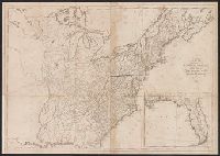
"Entered according to Act of Congress the 7th day of April, 1814, by Jason Torrey of the state of Pennsylvania." and Accompanied by text/index book: An index to the map of Wayne and Pike counties, Pennsylvania ... with explanatory remarks / by Jason Torrey. 7
Publisher:
Printed by Joseph Rakestraw,
Subject (Geographic):
Pennsylvania--Pike County. and Pennsylvania--Wayne County
Subject (Name):
Rakestraw, Joseph, 1780?-1860 and Tanner, Henry Schenck, 1786-1858
Subject (Topic):
Land grants, Land grants--Pennsylvania--Pike County--Maps., Land grants--Pennsylvania--Wayne County--Maps., Landowners, Landowners--Pennsylvania--Pike County--Maps., and Landowners--Pennsylvania--Wayne Co