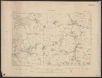
Great Britain. War Office. General Staff. Geographical Section
Published / Created:
1927
Call Number:
BrSides Folio 2018 131
Image Count:
1
Resource Type:
Maps, Atlases & Globes
Alternative Title:
GSGS (Series) ; 3857
Description:
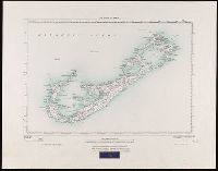
"250/27.", "Surveyed in 1898-99.", Bookseller's label at bottom of sheet: International Map Company, Inc. ... New York. N.Y., Relief shown by spot heights (in feet)., and Shows roads (2 categories) and parish boundaries.
Publisher:
Ordnance Survey Office,
Subject (Geographic):
Bermuda Islands--Maps.
Subject (Name):
Great Britain. Ordnance Survey and International Map Company
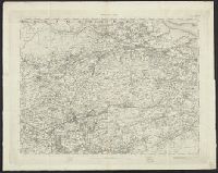
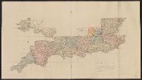
"Printed from an electrotype.", Copy 2: Sheets 7, 10-11, 15, 17-18, 20 and 21 only. Hand colored., For a detailed description of the maps, see: The first Ordnance Survey map : a history and cartobibliography of the one-inch Old Series of England and Wales / Roger Hellyer and Richard Oliver. London : The Charles Close Society, 2015., Some sheets issued as quarter sheets., Statement of responsibility and imprint based on sheet 1., and Topographic series of England and Wales with relief shown by hachures.
Publisher:
Published by Colonel Colby ...,
Subject (Geographic):
England--Maps, Great Britain--Surveys--Maps, Military topography--Great Britain, and Wales--Maps
"Printed from an electrotype.", Copy 1: Sheets 1-31 only. Accompanied by key sheet, "Index to the Ordnance Survey of Great Britain including the plate published.", For a detailed description of the maps, see: The first Ordnance Survey map : a history and cartobibliography of the one-inch Old Series of England and Wales / Roger Hellyer and Richard Oliver. London : The Charles Close Society, 2015., Some sheets issued as quarter sheets., Statement of responsibility and imprint based on sheet 1., and Topographic series of England and Wales with relief shown by hachures.
Publisher:
Published by Colonel Colby ...,
Subject (Geographic):
England--Maps, Great Britain--Surveys--Maps, Military topography--Great Britain, and Wales--Maps