Skip to search
Skip to main content
Skip to first result
Yale University Library
Ask Yale Library
Reserve Rooms
Places to Study
Research
Quicksearch
Search Library Catalog (Orbis)
Search Law Library Catalog (MORRIS)
Search Borrow Direct
Search WorldCat
Search Articles+
Search Digital Collections
Search Archives at Yale
Research Guides
Find Databases by Title
Find eJournals by Title
Guide to Using Special Collections
Services
Your Personal Librarian
Subject Specialists
Research Support and Workshops
Citation Tools
OverDrive: Popular Audio and eBooks
Get It @ Yale (Borrow Direct, Interlibrary Loan, Scan & Deliver)
Course Reserves
Off-Campus Access
EliScholar
OverDrive: Popular Audio and eBooks
Bass Media Equipment
Libraries & Collections
Arts Library
Bass Library
Beinecke Library
Classics Library
Divinity Library
Film Study Center
Fortunoff Archive
Humanities Collections
International Collections
Law Library
Lewis Walpole Library
Library Collection Services
Manuscripts & Archives
Map Collection
Marx Science & Social Science Library
Medical Library
Music Library
Sterling Library
Yale Center for British Art
Information & Policies
Library Hours
Departments & Staff
Borrowing & Circulation
Services for Persons with Disabilities
Copyright Basics
Scanning, Printing & Copying
Computers & Wireless
Library Policies
About the Library
Giving to the Library
Purchase Request
Working at the Library
Terms Governing Use of Materials
Search in
All Fields
Creator
Title
Call Number
Date
Subject
Orbis ID
Full Text
Description
Full text
search for
Search
Search
Advanced Search
Digital Collections
Search
You Searched For
Extent of Digitization
Completely digitized
Access
Public
Genre
Planographic prints
Publication Place
s.l
New Search
« Previous
|
1
-
50
of
197
|
Next »
Sort
by Title (Z --> A)
relevance
Creator (A --> Z)
Creator (Z --> A)
Title (A --> Z)
Title (Z --> A)
Year (ascending)
Year (descending)
Number of results to display per page
50
per page
9
per page
30
per page
60
per page
99
per page
View results as:
List
List
Gallery
Gallery
Search Results
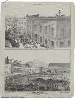
[Top] Fort Vigilant Rooms of the Committee Sacramento St. Bet. Davis & Front [and Below] Mass
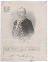
[-] Cde de Galvez
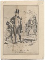
Who's afraid? Or, the Oregon question
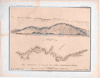
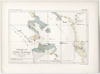
Vol. I. Geographical report. Plate No. I. Plan and section of cave, in Cave Valley southeastern
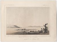
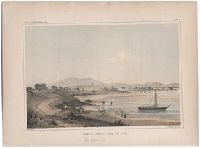
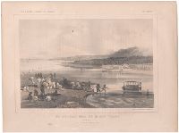
View of San Francisco, from Telegraph Hill
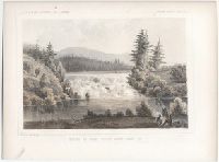
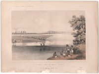
UU.S.P.R.R. Exp. & Surveys, Cal. & OREGON. General report-Plate II. Mouth of Fall River near Camp
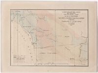
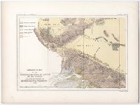
U.S.P.R.R. Explorations & Surveys War Department. Geological map of the country between San Diego
U.S.P.R.R. Exp. & Surveys..--Cal. Plate X. Los Angeles
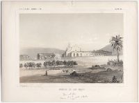
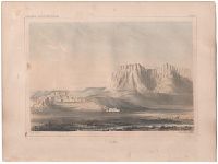
U.S.P.R.R. Exp. & Surveys.--Cal. Plate XII. Mission of San Diego
U.S.P.R.R. Exp. & Surveys.--Cal. Plate XI. Colorado Desert and Signal Mountain
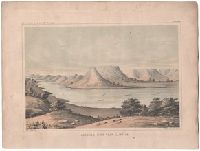
U.S.P.R.R. Exp. & Surveys.--Cal. Geology--Plate VII. Water line and shores of the Ancient Lake
U.S.P.R.R. Exp. & Surveys.--Cal. Geology--Plate VI. Mission and plain of San Fernando
U.S.P.R.R. Exp. & Surveys.--Cal. Geology--Plate V. Great Basin from the summit of Tejon Pass
U.S.P.R.R. Exp. & Surveys.--Cal. Geology--Plate IV. Sierra Nevada from the Four Creeks
U.S.P.R.R. Exp. & Surveys.--Cal. Geology--Plate II. U.S. military post, Benicia
U.S.P.R.R. Exp. & Surveys.--Cal. Geology--Plate II. Crossing of Chowchillas River
U.S.P.R.R. Exp. & Surveys., Cal. Geology--Plate VIII. Point of rocks covered with a calcareous
U.S.P.R.R. Exp. & Surveys. Lt. Warren's memoir. Plate III. Reduced section of map of North America
U.S.P.R.R. Exp. & Surveys. Lt. Warren's memoir. Plate II. Reduced section of a sketch of the
U.S.P.R.R. Exp. & Surveys. Lt. Warren's memoir. Plate I. Reduced section of a general map of North
U.S.P.R.R. Exp. & Surveys. Lt. Warren's memoir. Plate I. Reduced map of the territory west of the
U.S.P.R.R. Exp. & Surveys. Cal. Plate VIII. The Great Basinfrom the Cayada de las Uvas with Lost
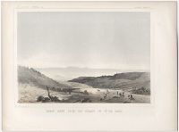
U.S.P.R.R. Exp. & Surveys. Cal. Plate VI. Entrance of the Tejon Pass and a portion of the Tejon
U.S.P.R.R. Exp. & Surveys. Cal. Plate V. Plain between Kah -Wee-Ya and Kings Rivers
U.S.P.R.R. Exp. & Surveys. Cal. Plate IV. Valley of Kah Wee Ya River (Four Creeks)
U.S.P.R.R. Exp. & Surveys. Cal. Plate II. Entrance to Livermore's Pass
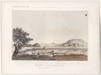
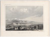
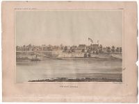
U.S.P.R.R. Exp. & Surveys. Cal. Plate I. View of Benicia from the west
U.S.P.R.R. Exp. & Surveys. Cal. PLATE III. Plain between the San Joaquin and King's Rivers
U.S.P.R.R. Exp. & Surveys. Cal. Geology, Map III. Geological map of the Tejon Pass & Caada de las
U.S.P.R.R. Exp. & Surveys. Cal. Geology View X. Rounded Hills Tertiary, (between Ocoya Creek and
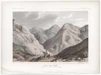
U.S.P.R.R. Exp. & Surveys. Cal. Geology Plate XI. Valley in the slope of the Great Basin. Leading
U.S.P.R.R. Exp. & Surveys. Cal. Geology Map 1. Geological map of the vicinity of San Francisco
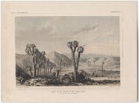
U.S.P.R.R. Exp. & Surveys. 35th parallel. Mountains near the entrance of the Caada de las Uvas
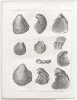
U.S.P.R.R. Exp. & Surveys. 35th parallel. Geology plate II. Figs. 1,2, terebratula millipunctata
U.S.P.R.R. Exp. & Surveys. 35th parallel. Geology pl. I. Figs. 1,6, grypha ptcher--figs. 7,10, g
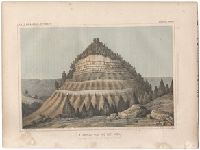
U.S.P.R.R. Exp. & Surveys. 35th parallel. Geological report. A conical hill, 500 feet high
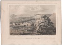
U.S.P.R.R. Exp. & Surveys. 35th Parallel. Topl. Report. View of the Black Forest Mount Hope and
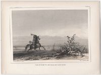
U.S.P.R.R. Exp. & Surveys. 35th Parallel. Topl. Report. Rio Colorado near the Mojave villages. View
U.S.P.R.R. Exp. & Surveys. 35th Parallel. Topl. Report. Rio Colorado near the Mojave Villages. View
U.S.P.R.R. Exp. & Surveys. 35th Parallel. Itinerary. Zuni
U.S.P.R.R. Exp. & Surveys. 35th Parallel. Itinerary. Canadian River near Camp 38
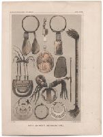
U.S.P.R.R. Exp. & Surveys. 35th Parallel. Indian Report. Indian ornaments and manufacturers
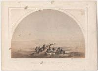
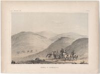
U.S.P.R.R. Exp. & Surveys. 35th Parallel. Indian Report. Comanche Camp on Shdy Creek
U.S.P.R.R. Exp. & Surveys. 35TH Parallel. Itinerary. Fort Smith, Arkansas
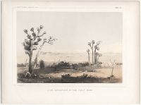
U.S.P.R.R. Exp. & Surveys. --Cal. Plate IX. Lost Mountains in the Great Basin
U.S.P.R.R. Exp. & Surveys-California. Geology Plate XII. Silicified wood
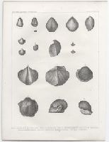
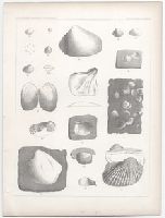
U.S.P.R.R. Exp. & Surveys-California. Fossil shells. Plate III
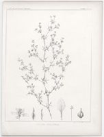
U.S.P.R.R. Exp. & Surveys-California. Botany-Plate I. Fagonia Californica
U.S.P.R.R. Exp. & Surveys-Cal.. & Oregon. General report-PlateIV. Mount Pitt, Klamath River & Upper
U.S.P.R.R. Exp. & Surveys-Cal. & Oregon. Geology. Plate V
PREVIOUS
«
1
2
3
4
»
NEXT
Limit your search
Extent of Digitization
Completely digitized
✖
[remove]
197
Access
Public
✖
[remove]
197
Repository
Beinecke Rare Book and Manuscript Library
197
Format
still image
185
cartographic
11
mixed material
1
Genre
Lithographs
197
Planographic prints
✖
[remove]
197
Resource Type
Archives or Manuscripts
1
Language
English
1
Creator
Ackerman Lith., New York, New York
43
J. H. Richard del.
13
T. Sinclair's Lith., Philadelphia, Pennsylvania
13
[John Young]
13
[Charles Koppel]
12
A. Hoen & Co., Baltimore, Maryland
9
F. Artos sc
7
A. H. Campbell
6
Frederick Remington, 1861-1909
6
From a sketch by Charles Koppel
6
more
Creator
»
Subject (Topic)
Mexican War, 1846-1848 --Pictorial works
3
Subject (Name)
Britton & Rey
1
Malthy, M. J.,--Mrs.
1
Publication Place
s.l
✖
[remove]
197
Date Created
View distribution
Current results range from
1845
to
1884
Date Created range begin
Date Created range end
View larger »
[Missing]
20