Skip to search
Skip to main content
Skip to first result
Search
You Searched For
Extent of Digitization
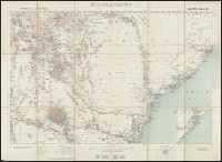
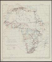
Completely digitized
Creator
Great Britain. War Office. General Staff. Geographical Section
Search Results
Creator:
Published / Created:
1943
Call Number:
60gm 1943
Container / Volume:
BRBL_00330
Image Count:
1
Resource Type:
Maps, Atlases & Globes
Alternative Title:
Geographical Section, General Staff ; no. 4209 and GSGS (Series) ; 4209.
Description:
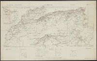
"Published by the War Office, 1941."
Publisher:
Army Map Service, U.S. Army,
Subject (Topic):
Transportation--Africa--Maps
Found in:
Beinecke Rare Book and Manuscript Library > Africa : communications.
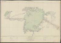
Creator:
Published / Created:
1942
Call Number:
66gmb 1942
Container / Volume:
BRBL_00348
Image Count:
1
Resource Type:
Maps, Atlases & Globes
Alternative Title:
[G.S.G.S.] 4256 and GSGS (Series) ; 4256.
Description:
"Copied from a French (Michelin) map [sheet 151] dated 1939."
Publisher:
GSGS,
Subject (Geographic):
Africa, North--Maps
Subject (Name):
Pneu Michelin (Firm)
Subject (Topic):
Roads--Africa, North--Maps, Roads--Algeria--Maps, Roads--Morocco--Maps, and Roads--Tunisia--Maps
Found in:
Beinecke Rare Book and Manuscript Library > Africa road map 1:2,000,000 and 1:500,000, Maroc-Algerie-Tunisie.
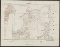
Creator:
Published / Created:
1942
Call Number:
67 Ag13 1942
Container / Volume:
BRBL_00348
Image Count:
1
Resource Type:
Maps, Atlases & Globes
Alternative Title:
Morocco 10 000.
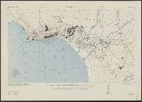
Description:
"Prepared under the direction of the chief of engineers, U. S. Army ... Compiled from base map of Ville d'Agadir, 1:10,000, Office of the military attache, Tangier, Morocco. Revised from U. S. H. O. chart no. 2239, R. A. F. aerial photos ... and Moroc...
Publisher:
Army Map Service, U. S. Army,
Subject (Geographic):
Agadir (Morocco)--Maps
Found in:
Beinecke Rare Book and Manuscript Library > Agadir; city plan.
Creator:
Published / Created:
1943
Call Number:
3897 Aj12 1943
Container / Volume:
BRBL_00184
Image Count:
1
Resource Type:
Maps, Atlases & Globes
Alternative Title:
[G.S.G.S.] ; 4381 and Great Britain. War Office. General Staff. Geographical Section. G.S.G.S. ; 4381.
Description:
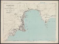
"Contours at 10 metres interval."
Publisher:
Army Map Service, U.S. Army,
Subject (Geographic):
Ajaccio (France)--Maps
Found in:
Beinecke Rare Book and Manuscript Library > Ajaccio, plan of port [cartographic material] / Drawn by War Office, 1943.
Creator:
Published / Created:
1910
Call Number:
335 1910
Container / Volume:
BRBL_00086
Image Count:
1
Resource Type:
Maps, Atlases & Globes
Alternative Title:
GSGS (Series) 2517
Description:
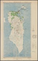
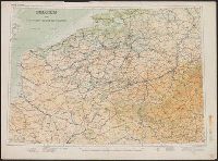
Shows canals, railways, roads and some military features.
Publisher:
Geographical Section, General Staff,
Subject (Geographic):
Belgium--Maps and France--Maps
Subject (Topic):
Transportation--Belgium--Maps and Transportation--Roads--Maps
Found in:
Beinecke Rare Book and Manuscript Library > Belgium and the north east of France G.S.G.S. 2517 [cartographic material].
Branch:v1.68.6 ,Deployed:2025-07-02T08:09:49-04:00