Search
You Searched For
Search Results
- Creator:
- Manila Fire Insurance Association
United States. Army Map Service
- Published / Created:
- 1944
- Call Number:
- 28 OR5 1944
- Container / Volume:
- BRBL_00024
- Image Count:
- 1
- Resource Type:
- Maps, Atlases & Globes
- Found in:
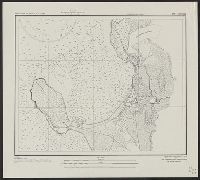
- Beinecke Rare Book and Manuscript Library > Philippine Islands city plans. Ormoc.
- Creator:
- Manila Fire Insurance Association
United States. Army Map Service
- Published / Created:
- 1944
- Call Number:
- 28 P85 1944
- Container / Volume:
- BRBL_00024
- Image Count:
- 1
- Resource Type:
- Maps, Atlases & Globes
- Found in:
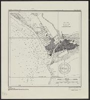
- Beinecke Rare Book and Manuscript Library > Philippine Islands city plans. Pototan.
- Creator:
- Manila Fire Insurance Association
United States. Army Map Service
- Published / Created:
- 1944
- Call Number:
- 28 SI315 1944
- Container / Volume:
- BRBL_00024
- Image Count:
- 1
- Resource Type:
- Maps, Atlases & Globes
- Found in:
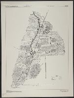
- Beinecke Rare Book and Manuscript Library > Philippine Islands city plans. Silay.
- Creator:
- U.S. Coast and Geodetic Survey
United States. Army Map Service
- Published / Created:
- 1944
- Call Number:
- 28 Ap11 1944
- Container / Volume:
- BRBL_00023E
- Image Count:
- 1
- Resource Type:
- Maps, Atlases & Globes
- Found in:
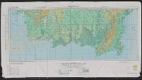
- Beinecke Rare Book and Manuscript Library > Philippine Islands city plans. Aparri.
- Creator:
- United States. Army Map Service
United States. Army. Philippine Scouts
- Published / Created:
- 1944
- Call Number:
- 28 D19 1944
- Container / Volume:
- BRBL_00023F
- Image Count:
- 1
- Resource Type:
- Maps, Atlases & Globes
- Found in:
- Beinecke Rare Book and Manuscript Library > Philippine Islands city plans. Danao.
- Creator:
- U.S. Coast and Geodetic Survey
United States. Army Map Service
- Published / Created:
- 1944
- Call Number:
- 28 SA522 1944
- Container / Volume:
- BRBL_00024
- Image Count:
- 1
- Resource Type:
- Maps, Atlases & Globes
- Found in:
- Beinecke Rare Book and Manuscript Library > Philippine Islands city plans. San Fernando.
- Creator:
- U.S. Coast and Geodetic Survey
United States. Army Map Service
- Published / Created:
- 1944
- Call Number:
- 28 T11 1944
- Container / Volume:
- BRBL_00024
- Image Count:
- 1
- Resource Type:
- Maps, Atlases & Globes
- Found in:
- Beinecke Rare Book and Manuscript Library > Philippine Islands city plans. Taal and Lemery.
- Creator:
- United States. Army Map Service
United States. Army. Infantry Regiment, 17th
- Published / Created:
- 1944
- Call Number:
- 28 C147 1944
- Container / Volume:
- BRBL_00023F
- Image Count:
- 1
- Resource Type:
- Maps, Atlases & Globes
- Found in:
- Beinecke Rare Book and Manuscript Library > Philippine Islands city plans. Camiling.
- Creator:
- U.S. Lake Survey
United States. Aeronautical Chart Service
United States. Army Map Service
- Published / Created:
- 1944
- Call Number:
- 275 1944A
- Container / Volume:
- BRBL_00023B
- Image Count:
- 1
- Resource Type:
- Maps, Atlases & Globes
- Found in:
- Beinecke Rare Book and Manuscript Library > AAF cloth chart. No. C-47. South Borneo.
- Creator:
- U.S. Lake Survey
United States. Aeronautical Chart Service
United States. Army Map Service
- Published / Created:
- 1944
- Call Number:
- 275 1944A
- Container / Volume:
- BRBL_00023B
- Image Count:
- 1
- Resource Type:
- Maps, Atlases & Globes
- Found in:
- Beinecke Rare Book and Manuscript Library > AAF cloth chart. No. C-48. West Java.