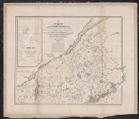
1. Map of the boundary lines between the United States and the adjacent British provinces : from the Creator: United States. Army. Corps of Topographical Engineers Published / Created: 1843 Call Number: 73fab 1843 Container / Volume: BRBL_00375B Image Count: 1 Resource Type: Maps, Atlases & Globes Found in: Beinecke Rare Book and Manuscript Library > Map of the boundary lines between the United States and the adjacent British provinces : from the mouth of the River St. Croix to the intersection of the parallel of 45 degrees of north latitude with the River St. Lawrence near St. Regis.