- Creator:
- United States. Department of State. Division of Map Intelligence and Cartography
- Published / Created:
- 1947
- Call Number:
- 577 1947
- Container / Volume:
- BRBL_00313
- Image Count:
- 1
- Resource Type:
- Maps, Atlases & Globes
- Alternative Title:
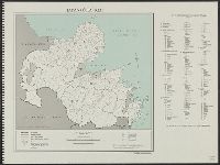
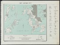
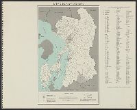
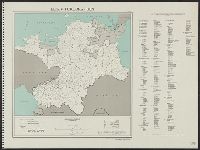
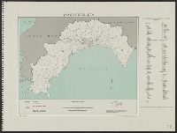
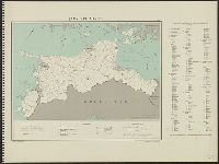
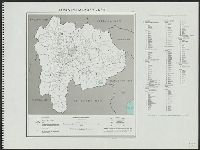
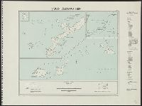
- Okinawa-ken
- Description:
- "10246 April 1947.", "Base map: Okinawa-ken, Dai Nippon Bunken Chizu, Tökyō, 1938.", "Boundaries revised from Japanese General Staff 1:50,000.", "Code used for the ken, gun, and shi is based on that used on A.M.S. 1:250,000 series and gazetteer.", and "Map no.
- Publisher:
- Dept. of State, Map Division,
- Subject (Geographic):
- Okinawa-ken (Japan)--Administrative and political divisions--Maps
- Found in:
- Beinecke Rare Book and Manuscript Library > Japan. Okinawa-ken : administrative divisions, November 1943.