
Search


Limit your search
- Public206
- Beinecke Rare Book and Manuscript Library✖[remove]206
- cartographic✖[remove]206
- United States. Office of Strategic Services. Research and Analysis Branch✖[remove]206
- United States. Office of Strategic Services. Reproduction Branch4
- United States. Army Map Service1
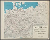
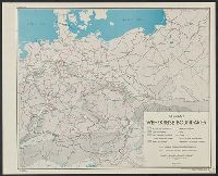
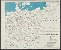
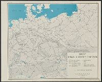
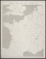
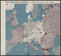
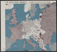
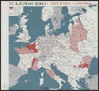
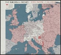
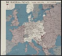
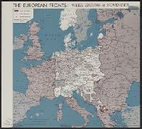
- World War, 1939-1945--Campaigns--Western Front--Historical geography--Maps36
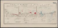
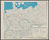
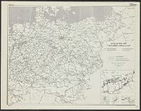
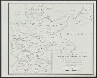
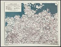
- Railroads--Germany--Maps7
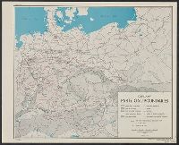
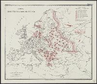
- Railroads--Europe, Central--Maps5
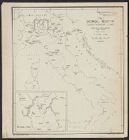
- Chemical industry--Germany--Maps2
- Metal trade--Germany--Maps2
- Nazis--Europe, Central--Maps2
- Nazis--Germany--Maps2
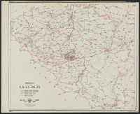
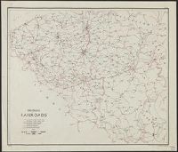
- Railroads--Belgium--Maps2
- Railroads--China--Maps2
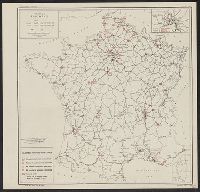
- Railroads--France--Maps2
Current results range from 1943 to 1945