Geographical Section General Staff ; no. 2112 and GSGS (Series) ; 2112.
Description:
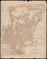
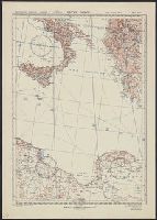
"War Office, April 1906. Corrected to Dec. 1908.", Includes explanations and conventional signs., Includes inset: sketch map of China (Scale 1:20,000,000)., and Relief shown by spot heights and shading.
Altitudes given in feet., Contours at 200 feet vertical intervals., Copy 2: Includes sheets 1, 2A, 3, 4A, 6A, 7A, 9A (two copies), 10-11, and 12A, with various corrections between 1928 and 1930., and Diagram showing adjoining sheets in margins.
Altitudes given in feet., Contours at 200 feet vertical intervals., Copy 1: Imperfect: sheets 2-7 wanting. Accompanied by extra sheet 9 with minor corrections to 1925., Covers affixed verso not digitized., and Diagram showing adjoining sheets in margins.
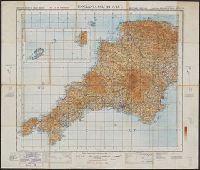
England & Wales, G.S.G.S. ; no. 3957, and GSGS (Series) ; 3957.
Description:
Imperfect: all sheets but "England, south west ... war revision" wanting., Includes diagram of adjacent sheets., Relief shown by contours and spot heights. Depths shown by isolines., and Some maps identified as Military edition; some sheets identified as War revision 1940.
Great Britain. War Office. General Staff. Geographical Section
Published / Created:
1943
Call Number:
40 P19 1942
Container / Volume:
BRBL_00213
Image Count:
1
Resource Type:
Maps, Atlases & Globes
Alternative Title:
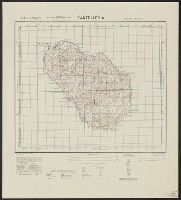
Geographical Section, General Staff ; no. 4162 and GSGS (Series) ; 4162.
Description:
"3-43.", "Copied from an Italian map of 1896.", "Grid added November 1942.", Military grid., and Relief shown by contours, rock drawings, and spot heights.