Search
You Searched For
Search Results
- Creator:
- United States. General Land Office
- Published / Created:
- 1876
- Call Number:
- 75 1876
- Container / Volume:
- BRBL_00405
- Image Count:
- 6
- Resource Type:
- Maps, Atlases & Globes
- Found in:
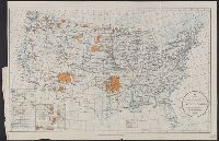
- Beinecke Rare Book and Manuscript Library > Map of the United States and territories, showing the extent of public surveys, Indian and military reservations, land grant R.R., rail roads, canals, and other details / compiled from the official surveys of the General Land Office, and other authentic s
- Creator:
- United States. Office of Indian Affairs
- Published / Created:
- 1909
- Call Number:
- 75ed 1909
- Container / Volume:
- BRBL_00410
- Image Count:
- 1
- Resource Type:
- Maps, Atlases & Globes
- Found in:
- Beinecke Rare Book and Manuscript Library > Map showing Indian reservations within the limits of the United States, 1909 / [Department of the Interior, Office of Indian Affairs] ; compiled under the direction of R. G. Valentine.
- Creator:
- Brodie, Paul
- Published / Created:
- 1884
- Call Number:
- 75EA 1884
- Container / Volume:
- BRBL_00409
- Image Count:
- 1
- Resource Type:
- Maps, Atlases & Globes
- Found in:
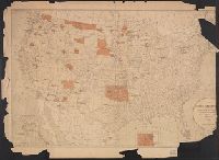
- Beinecke Rare Book and Manuscript Library > Map showing the location of the Indian reservations within the limits of the United States and territories / compiled from official and other authentic sources under the direction of Hiram Price, Commissioner of Indian Affairs ; Paul Brodie, draughtsman.