Search
You Searched For
Search Results
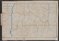
- Creator:
- Geological Survey of Canada
- Published / Created:
- [1886]
- Call Number:
- 739GBC C19 1886F
- Container / Volume:
- BRBL_00392
- Image Count:
- 1
- Resource Type:
- Maps, Atlases & Globes
- Found in:
- Beinecke Rare Book and Manuscript Library > Map of placer mines & quartz veins in the vicinity of Lightning Creek / by Amos Bowman, mining engineer ; drawn by James McEvoy ; drawn for photolithography by L.N. Richard and Is. Marion.
- Creator:
- Barnes, Oliver W
- Published / Created:
- 1868
- Call Number:
- 771 1868A
- Container / Volume:
- BRBL_00479
- Image Count:
- 1
- Resource Type:
- Maps, Atlases & Globes
- Found in:
- Beinecke Rare Book and Manuscript Library > Map of portions of New York and New England showing the routes of the Dutchess and Columbia & Connecticut Western Rail Roads / Oliver W. Barnes.
- Creator:
- Turney, Omar A
- Published / Created:
- c1922.
- Call Number:
- 842gce P56 200BC
- Container / Volume:
- BRBL_00600
- Image Count:
- 1
- Resource Type:
- Maps, Atlases & Globes
- Found in:
- Beinecke Rare Book and Manuscript Library > Map of prehistoric irrigation canals / Omar A. Turney.
- Published / Created:
- 1876
- Call Number:
- 766 W15 1876
- Container / Volume:
- BRBL_00712
- Image Count:
- 1
- Resource Type:
- Maps, Atlases & Globes
- Found in:
- Beinecke Rare Book and Manuscript Library > Map of premises in the town of Wallingford, Conn. surveyed for The Wallingford Printing Co., April 1867 & Feb. 1876. By William Hartley, CE . Dep. Surveyor General.
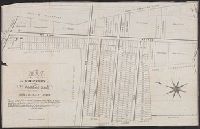
- Published / Created:
- [1834]
- Call Number:
- 771 J222 1834
- Container / Volume:
- BRBL_00483
- Image Count:
- 1
- Resource Type:
- Maps, Atlases & Globes
- Found in:
- Beinecke Rare Book and Manuscript Library > Map of property at Jamaica belonging to Abrm. H. Van Wyck.
- Published / Created:
- 1873
- Call Number:
- 771 N49 1873B
- Container / Volume:
- BRBL_00487
- Image Count:
- 2
- Resource Type:
- Maps, Atlases & Globes
- Found in:
- Beinecke Rare Book and Manuscript Library > Map of property containing an area of 473 lots of 2500 square feet each divided into 31 plots situated on the Harlem River Heights ... in the proposed 24th Ward of the City of N.Y. ... / Photo-lith. by J. Bien, N.Y.
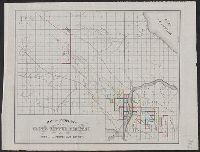
- Creator:
- J.O. Seymour & Co
- Published / Created:
- [ca. 1870]
- Call Number:
- 811gfc P831 1870
- Container / Volume:
- BRBL_00554
- Image Count:
- 1
- Resource Type:
- Maps, Atlases & Globes
- Found in:
- Beinecke Rare Book and Manuscript Library > Map of property of the Globe Copper Company and mines in the Portage Lake District.
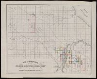
- Creator:
- J.O. Seymour & Co.
- Published / Created:
- [ca. 1870]
- Call Number:
- BrSides Folio 2018 132
- Image Count:
- 1
- Resource Type:
- Maps, Atlases & Globes
- Found in:
- Beinecke Rare Book and Manuscript Library > Map of property of the Globe Copper Company and mines in the Portage Lake District.