Search
You Searched For
Search Results
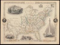
- Creator:
- Rapkin, J
- Published / Created:
- [1857]
- Call Number:
- BrSides 2017 60
- Image Count:
- 1
- Resource Type:
- Maps, Atlases & Globes
- Subject (Geographic):
- United States--Maps.
- Found in:
- Beinecke Rare Book and Manuscript Library > United States / map drawn & engraved by J. Rapkin.
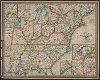
- Creator:
- National Railway Publication Company
- Call Number:
- BrSides Zc19 N82h 870na
- Image Count:
- 1
- Resource Type:
- Maps, Atlases & Globes
- Subject (Topic):
- Railroads--United States--Maps.
- Found in:
- Beinecke Rare Book and Manuscript Library > Map of the Northern Pacific Railway and tributary country.
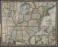
- Creator:
- Young, J. H. (James Hamilton)
- Published / Created:
- 1833
- Call Number:
- 75 1833B
- Container / Volume:
- BRBL_00398
- Image Count:
- 1
- Resource Type:
- Maps, Atlases & Globes
- Subject (Geographic):
- United States--Maps.
- Found in:
- Beinecke Rare Book and Manuscript Library > Mitchell's travellers guide through the United States [cartographic material] : a map of the roads, distances, steam boat & canal routes &c / by J.H. Young.
- Creator:
- Young, J. H. (James Hamilton)
- Published / Created:
- 1833
- Call Number:
- 2008 1135
- Collection Title:
- Mitchell’s travellers guide through the United States [cartographic material] : a map of the roads
- Image Count:
- 1
- Resource Type:
- Maps, Atlases & Globes
- Subject (Geographic):
- United States--Maps.
- Found in:
- Beinecke Rare Book and Manuscript Library > Mitchell's travellers guide through the United States [cartographic material] : a map of the roads, distances, steam boat & canal routes &c / by J.H. Young.
- Creator:
- J.H. Colton & Co
- Published / Created:
- 1855
- Call Number:
- BrSides Folio 2017 60
- Image Count:
- 1
- Resource Type:
- Maps, Atlases & Globes
- Subject (Geographic):
- United States--Maps
- Found in:
- Beinecke Rare Book and Manuscript Library > The United States of America.
- Creator:
- Atwood, John M., approximately 1818- cartographer.
- Published / Created:
- 1849
- Call Number:
- 71 1849
- Image Count:
- 1
- Resource Type:
- Maps, Atlases & Globes
- Subject (Geographic):
- United States--Maps.
- Found in:
- Beinecke Rare Book and Manuscript Library > Map of the United States, the British provinces, Mexico &c. / drawn & engraved by J.M. Atwood.
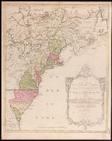
- Creator:
- Lotter, Matthäus Albrecht, 1741-1810.
- Published / Created:
- 1776?]
- Call Number:
- 755 1776E
- Image Count:
- 1
- Resource Type:
- Maps, Atlases & Globes
- Subject (Geographic):
- United States--Maps--Early works to
- Found in:
- Beinecke Rare Book and Manuscript Library > Carte nouvelle de l'Amérique angloise contenant tout ce que les Anglois possedent sur le continent de l'Amérique septentrionale savoir le Canada : la Nouvelle Ecosse ou Acadie, les treize provinces unies qui font : les quatres colonies de la Nouvelle Angleterre ... / gravée exactement d'après les determinations geographiques dernierement faites par Matthieu Albert Lotter.