
Search


Limit your search
- Completely digitized✖[remove]23
- Public23
- Maps23
- Maps, Atlases & Globes✖[remove]23
- English23
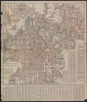
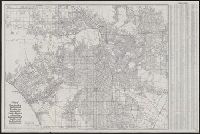
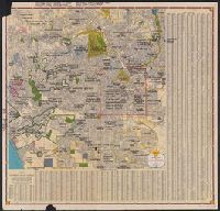
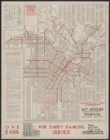
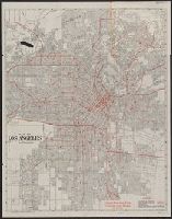
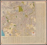
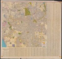
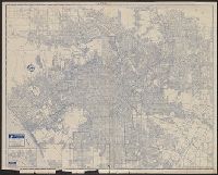
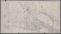
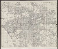
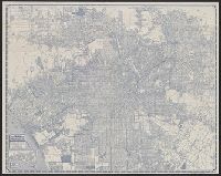
- Streets--California--Los Angeles--Maps✖[remove]23
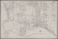
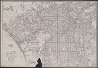
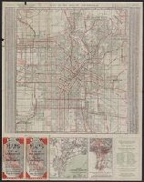
- Roads--California--Los Angeles Metropolitan Area--Maps16
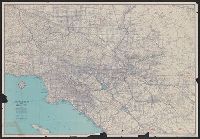
- Roads--California--Los Angeles Region--Maps2
- Street-railroads--California--Los Angeles--Maps2
- Roads--California--Maps1
- Roads--California--San Fernando Valley--Maps1
- Streets--California--San Fernando--Maps1
- Los Angeles Railway--Maps2
- Pacific Electric Railway Company--Maps2
- Security Trust & Savings Bank (Los Angeles, Calif.)2
- Security-First National Bank of Los Angeles2
- Security-First National Bank of Los Angeles--Maps2
- Baumgardt Publishing Co1
- Citizens National Bank (Los Angeles, Calif.)1
- Citizens Trust & Savings Bank1
- General Petroleum Corporation1
- Los Angeles Chamber of Commerce1
Current results range from 1897 to 1955