
Search


Limit your search
- Unspecified✖[remove]51
- Public51
- Maps, Atlases & Globes✖[remove]51
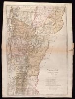
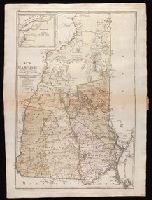
- Ebeling, Christophe Daniel, 1741-1817. Erdbeschreibung und Geschichte von Amerika8
- Sotzmann, D. F8
- Bohn, Carl Ernst6
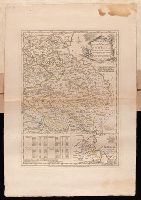
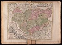
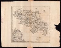
- Fricx, Eugène-Henri, d. 17333
- Fricx, Eugène-Henri, d. 1733. Cartes des provinces des Pays Bas3
- Jefferys, Thomas, d. 17713
- Sander, Wilhelm, 1766-1836, engraver3
- Schmidt, Paulus, engraver3
- Bohn, Carl Ernst, publisher2
- Crépy, Etienne Louis, printer2
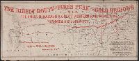
- Northern Pacific Railway Company6
- Ebeling, Christoph Daniel,--1741-1817--Presentation inscription to N. Webster2
- Great Northern Railway Company (U.S.)2
- St. Paul, Minneapolis & Manitoba Railway Company2
- Webster, Noah,--1758-1843--Presentation inscription from C.D. Ebeling2
- Spokane and Palouse Railway Company1