Search
You Searched For
Search Results
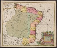
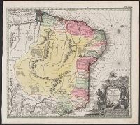
- Creator:
- Blaeu, Joan, 1596-1673
- Published / Created:
- [ca. 1720]
- Call Number:
- 911 1708
- Container / Volume:
- BRBL_00699
- Image Count:
- 1
- Resource Type:
- Maps, Atlases & Globes
- Subject (Geographic):
- Brazil--Maps--Early works to 1800
- Found in:
- Beinecke Rare Book and Manuscript Library > Nova et accurata Brasiliae totius tabula / auctore Ioanne Blaeu I.F.
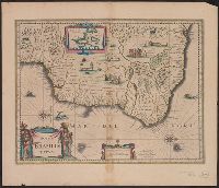
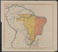
- Creator:
- Blaeu, Willem Janszoon, 1571-1638
- Published / Created:
- [ca. 1635]
- Call Number:
- 911 1640A
- Container / Volume:
- BRBL_00699
- Image Count:
- 2
- Resource Type:
- Maps, Atlases & Globes
- Subject (Geographic):
- Brazil--Maps--Early works to 1800
- Found in:
- Beinecke Rare Book and Manuscript Library > Novus Brasiliae typus.
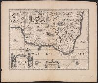
- Creator:
- Blaeu, Willem Janszoon, 1571-1638
- Published / Created:
- [ca. 1638]
- Call Number:
- 911 1640
- Container / Volume:
- BRBL_00699
- Image Count:
- 2
- Resource Type:
- Maps, Atlases & Globes
- Subject (Geographic):
- Brazil--Maps--Early works to 1800
- Found in:
- Beinecke Rare Book and Manuscript Library > Novus Brasiliae typus.
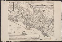
- Published / Created:
- 1648
- Call Number:
- 911 P42 1648
- Container / Volume:
- BRBL_00669
- Image Count:
- 1
- Resource Type:
- Maps, Atlases & Globes
- Subject (Geographic):
- Brazil--Maps--Early works to 1800
- Found in:
- Beinecke Rare Book and Manuscript Library > Perfecte Caerte der gelegentheyt van Olinda de Pharnambuco, Maurits-Stadt ende t'Reciffo... Toor Cornellis Golijath...
- Creator:
- Seutter, Matthaeus, 1678-1756
- Published / Created:
- [ca. 1735]
- Call Number:
- 911 1735
- Container / Volume:
- BRBL_00669
- Image Count:
- 1
- Resource Type:
- Maps, Atlases & Globes
- Subject (Geographic):
- Brazil--Maps--Early works to 1800
- Found in:
- Beinecke Rare Book and Manuscript Library > Recens elaborata mappa geographica, Regni Brasiliae in America meridionali / maxime celebris accuratae delineata per Matth. Seutterum.
- Published / Created:
- 1759
- Call Number:
- 911 1759
- Container / Volume:
- BRBL_00669
- Image Count:
- 1
- Resource Type:
- Maps, Atlases & Globes
- Subject (Geographic):
- Brazil--Maps--Early works to 1800
- Found in:
- Beinecke Rare Book and Manuscript Library > [Mapa Anexo á un oficio dirigido por D. Pedro de Cevallos al Ministro de Estado D. Ricardo Wall, fecha 20 de Enero de 1759].
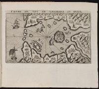
- Published / Created:
- 1609
- Call Number:
- Z6 12
- Collection Title:
- Histoire de la Novvelle France
- Image Count:
- 1
- Subject (Geographic):
- Guanabara Bay (Brazil) --Maps --Early
- Found in:
- Beinecke Rare Book and Manuscript Library > Figure du port de Ganabara au Brisil / I. Millot excudit. Auec priuilege du Roy
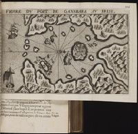
- Published / Created:
- [1609]
- Call Number:
- Taylor 245
- Collection Title:
- Histoire de la Novvelle France
- Image Count:
- 1
- Subject (Geographic):
- Guanabara Bay (Brazil) --Maps --Early
- Found in:
- Beinecke Rare Book and Manuscript Library > Figure du port de Ganabara au Brisil / I. Millot excudit. Auec priuilege du Roy
- Published / Created:
- [1609]
- Call Number:
- Pequot L56
- Collection Title:
- Histoire de la Nouvelle-France : contenant les navigations, decouvertes, & habitations faites par
- Image Count:
- 1
- Subject (Geographic):
- Guanabara Bay (Brazil) --Maps --Early
- Found in:
- Beinecke Rare Book and Manuscript Library > Figure du port de Ganabara au Brisil / I. Millot excudit. Auec priuilege du Roy
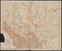
- Creator:
- Portillo, Pedro
- Published / Created:
- 1907
- Call Number:
- 97 1907
- Container / Volume:
- BRBL_00677
- Image Count:
- 1
- Resource Type:
- Maps, Atlases & Globes
- Subject (Geographic):
- Brazil--Boundaries--Peru--Maps
- Found in:
- Beinecke Rare Book and Manuscript Library > Mapa del alto Yurua y alto Purus que comprende las ultimas exploraciones y estudios verificados desde 1900 hasta 1906 [cartographic material] / mandado levantar por el Coronel D. Pedro Portillo indicando en tinta roja el ruḿbo de su viaje en 1900 y el ú