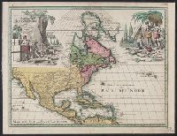
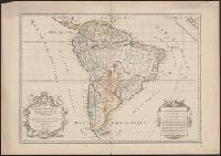
Includes ill. of natives in upper left and right., Relief shown pictorially., Some French notes., and Yale's copy annotated in ink in upper right margin: Nr073.
Anville, Jean Baptiste Bourguignon d', 1697-1782 Gravelot, Sr Major, Sr
Published / Created:
1746
Call Number:
2003 Folio 85
Image Count:
1
Description:
Inset map: [Hudson Bay-Labrador Region]. and No. 2 of 45 maps bound together with binder’s spine title: Atlas of America; ms. table of contents. Bookplate of Paul Mellon.
Anville, Jean Baptiste Bourguignon d', 1697-1782 Haye, G. de la
Published / Created:
avec privilege 1748
Call Number:
2003 Folio 85
Image Count:
1
Description:
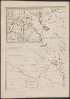
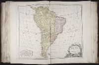
Hand colored., 2003 Folio 85: No. 43 of 45 maps bound together with binder’s spine title: Atlas of America, Bookplate: Robinson. Bookplate of Paul Mellon, Relief shown pictorially., and Scale [ca. 1:2,500,000]
"Dedié au Roy parson très humble, très obeissant, très fidele sujet et serviteur Hubert Jaillot geographe de sa Majesté.", Appears in Jaillot's Atlas françois., Hand colored borders. Sheet measures 54.2 x 77.6 cm., Includes eight bar scales., Prime meridian: Ferro., Relief shown pictorially., and Watermark.
Publisher:
Chez H. Iaillot joignant les Grands Augustins aux deux Globes avec privilege du Roy, pour vignt ans,
Subject (Geographic):
South America--Maps--Early works to 1800
Subject (Name):
Albany Institute Stamp, Cordier, Louis, -1711, engraver, and Jaillot, Alexis Hubert, 1632?-1712. Atlas françois
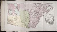
BEIN 2003 Folio 85: No. 42 of 45 maps bound together with binder's spine title: Atlas of America; ms. table of contents. Bookplate: Robinson. Bookplate of Paul Mellon., Hand colored., par le Sr. Robert de Vaugondy, fils de Mr. Robert, geographe ordinaire du roy., Relief shown pictorially., and Scale [ca. 1:17,000,000]
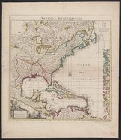
"Par et chez le Sr. le Rouge ingenieur géographe du Roy, rüe des grands Augustins vis-a-vis le panier fleurÿ avec privilege du Roy 1742.", Appears in the author's Atlas Général. [1741-62]., and Includes list of abbreviations, decorative cartouche and compa
Publisher:
Par et chez le Sr. le Rouge ...,
Subject (Geographic):
North America--Maps--Early works to 1800
Subject (Name):
Le Rouge, Georges-Louis. Atlas général and Popple, Henry, -1743. Map of the British Empire in America, with the French and Spanish settlements adjacent thereto
Nova mappa geographica Americae Septentrionalis in suas praecipuas partes divisa
Description:
In French, with alternate title in Latin., Includes 18 insets and decorative cartouche., Prime meridians: Ferro and Paris., Relief shown pictorially., Title from upper margin., and Yale copy stamped on verso: Yale, Horace Brown, 1900S.
Publisher:
Sumptibus Ioh. Mich. Probst,
Subject (Geographic):
North America--Maps--Early works to 1800
Subject (Name):
Popple, Henry, -1743. Map of the British Empire in America and Probst, Jean George
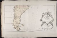
Appears in Robert de Vaugondy's Atlas universel., Bar scales given in "mille par geometriques, de 60 au degre," "lieues marines ou d'une heure, de 20 au degre," and "lieues d'Espagne, de 17 1/2 au degre.", Cross Collection no. 331., Ornamental cartouche., Relief shown pictorially., Shows Indian tribes, etc., and Title in ms. on verso, with ms. no.: 113.
Publisher:
s.n.],
Subject (Geographic):
South America--Maps--Early works to 1800
Subject (Name):
Robert de Vaugondy, Gilles, 1688-1766. Atlas universel