Search
You Searched For
Search Results
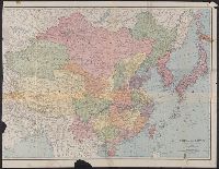
- Creator:
- Rand McNally and Company
- Published / Created:
- c1901.
- Call Number:
- 56 1901A
- Container / Volume:
- BRBL_00296
- Image Count:
- 2
- Resource Type:
- Maps, Atlases & Globes
- Found in:
- Beinecke Rare Book and Manuscript Library > A new map of the Chinese Empire with Japan and Korea. Map of Asia. / by Rand, McNally & Co.
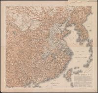
- Creator:
- United States. Hydrographic Office
- Published / Created:
- 1904
- Call Number:
- 57 1904
- Container / Volume:
- BRBL_00302
- Image Count:
- 1
- Resource Type:
- Maps, Atlases & Globes
- Found in:
- Beinecke Rare Book and Manuscript Library > Asia, Japan and Korea : with the surrounding seas and the adjacent coastal region of China / published at Washington, D.C. Feb. 1904, at the Hydrographic Office. H.M. Hodges, Lieutenant Commander, U.S.N. Hydrographer.
- Creator:
- United States. Hydrographic Office
- Published / Created:
- 1904
- Call Number:
- 556cea 1904
- Container / Volume:
- BRBL_00293
- Image Count:
- 1
- Resource Type:
- Maps, Atlases & Globes
- Found in:
- Beinecke Rare Book and Manuscript Library > Asia, Japan and Korea : with the surrounding seas and the adjacent coastal region of China / published at Washington, D.C. Feb. 1904, at the Hydrographic Office. H.M. Hodges, Lieutenant Commander, U.S.N. Hydrographer.
- Creator:
- Rand McNally and Company
- Published / Created:
- [1912]
- Call Number:
- 56 1912A
- Container / Volume:
- BRBL_00296
- Image Count:
- 1
- Resource Type:
- Maps, Atlases & Globes
- Found in:
- Beinecke Rare Book and Manuscript Library > China and Japan [cartographic material].
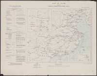
- Creator:
- Hoebel, Paul
- Published / Created:
- 1910
- Call Number:
- 56 1901
- Container / Volume:
- BRBL_00296
- Image Count:
- 4
- Resource Type:
- Maps, Atlases & Globes
- Found in:
- Beinecke Rare Book and Manuscript Library > Hoebels Karte v. China [cartographic material] / gezeichnet und übersetzt von Paul Hoebel, Terrainzeichnung von F. Pilger.
- Creator:
- Great Britain. Ordnance Survey
- Published / Created:
- 1910
- Call Number:
- 56gm 1910
- Container / Volume:
- BRBL_00298
- Image Count:
- 1
- Resource Type:
- Maps, Atlases & Globes
- Found in:
- Beinecke Rare Book and Manuscript Library > Map of China [cartographic material] : shewing railways, telegraphs and treaty ports.
- Creator:
- Great Britain. Ordnance Survey
- Published / Created:
- 1913
- Call Number:
- 56 1913
- Container / Volume:
- BRBL_00296
- Image Count:
- 1
- Resource Type:
- Maps, Atlases & Globes
- Found in:
- Beinecke Rare Book and Manuscript Library > Map of China [cartographic material] : shewing railways, telegraphs and treaty ports.
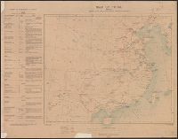
- Creator:
- United States. Adjutant-General's Office. Military Information Division
- Published / Created:
- 1900
- Call Number:
- 56 1900
- Container / Volume:
- BRBL_00296
- Image Count:
- 1
- Resource Type:
- Maps, Atlases & Globes
- Found in:
- Beinecke Rare Book and Manuscript Library > Map of north eastern China / prepared in the War Department, Adjutant General's Office, Military Information Division.
- Published / Created:
- [1906?]
- Call Number:
- 56 1906
- Container / Volume:
- BRBL_00296
- Image Count:
- 1
- Resource Type:
- Maps, Atlases & Globes
- Found in:
- Beinecke Rare Book and Manuscript Library > Physical and Political map of China and dependencies / by A. Richard.
- Creator:
- Bartholomew, J. G. (John George), 1860-1920
- Published / Created:
- 1912?]
- Call Number:
- 56 1912
- Container / Volume:
- BRBL_00296
- Image Count:
- 1
- Resource Type:
- Maps, Atlases & Globes
- Found in:
- Beinecke Rare Book and Manuscript Library > The National Geographic Magazine map of China and its territories [cartographic material] / prepared by J.G. Bartholomew ; Gilbert H. Grosvenor, editor.