Search
You Searched For
Search Results
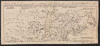
- Creator:
- Mitchell, John, 1711-1768
- Published / Created:
- [1755]
- Call Number:
- 71 1755D
- Image Count:
- 8
- Resource Type:
- Maps, Atlases & Globes
- Found in:
- Beinecke Rare Book and Manuscript Library > A map of the British and French dominions in North America : with the roads, distances, limits, and extent of the settlements, humbly inscribed to the Right Honourable the Earl of Halifax, and the other Right Honourable the Lords Commissioners for Trade &
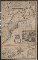
- Creator:
- Bowen, Thomas, d. 1790
- Published / Created:
- 1755]
- Call Number:
- 71 1755E
- Container / Volume:
- BRBL_00687
- Image Count:
- 1
- Resource Type:
- Maps, Atlases & Globes
- Found in:
- Beinecke Rare Book and Manuscript Library > A map of the British and French settlements in North America / T. Bowen, sculpt[or].
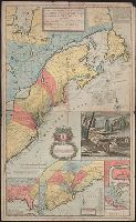
- Creator:
- Moll, Herman, d. 1732
- Published / Created:
- 1715 [i.e., 1726?]
- Call Number:
- 755 1715B
- Container / Volume:
- BRBL_00425
- Image Count:
- 1
- Resource Type:
- Maps, Atlases & Globes
- Found in:
- Beinecke Rare Book and Manuscript Library > A new and exact map of the dominions of the King of Great Britain on ye continent of North America : containing Newfoundland, New Scotland, New England, New York, New Jersey, Pensilvania, Maryland, Virginia, and Carolina ... / by Herman Moll, geographer.
- Creator:
- Moll, Herman, -1732
- Published / Created:
- 1715
- Call Number:
- 755 1715C
- Container / Volume:
- BRBL_00425
- Image Count:
- 1
- Resource Type:
- Maps, Atlases & Globes
- Found in:
- Beinecke Rare Book and Manuscript Library > A new and exact map of the dominions of the King of Great Britain on ye continent of North America [cartographic material] : containing Newfoundland, New Scotland, New England, New York, New Jersey, Pensilvania, Maryland, Virginia and Carolina according t
- Published / Created:
- 1730?]
- Call Number:
- 71 1730B
- Container / Volume:
- BRBL_00725
- Image Count:
- 1
- Resource Type:
- Maps, Atlases & Globes
- Found in:
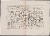
- Beinecke Rare Book and Manuscript Library > Accurata delineatio celeberrimæ regionis Ludovicianæ vel gallice Louisiane ... in lucem edita cura et manu Matthæi Seutteri ...
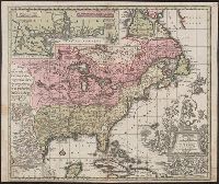
- Creator:
- Palairet, Jean, 1697-1774
- Published / Created:
- 1755
- Call Number:
- 755 1763
- Container / Volume:
- BRBL_00428
- Image Count:
- 1
- Resource Type:
- Maps, Atlases & Globes
- Found in:
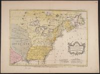
- Beinecke Rare Book and Manuscript Library > Carte des possessions angloises & françoises du continent de l'Amérique septentrionale / Thos. Kitchin, sculpt.
- Creator:
- Palairet, Jean, 1697-1774
- Published / Created:
- 1755
- Call Number:
- 755 1755E
- Container / Volume:
- BRBL_00427
- Image Count:
- 1
- Resource Type:
- Maps, Atlases & Globes
- Found in:
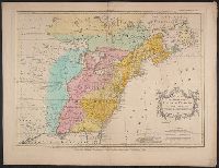
- Beinecke Rare Book and Manuscript Library > Carte des possessions angloises & françoises du continent de l'Amérique septentrionale / Thos. Kitchin, sculpt.
- Creator:
- Palairet, Jean, 1697-1774
- Published / Created:
- 1755
- Call Number:
- 755 1755E
- Container / Volume:
- BRBL_00427
- Image Count:
- 1
- Resource Type:
- Maps, Atlases & Globes
- Found in:
- Beinecke Rare Book and Manuscript Library > Carte des possessions angloises & françoises du continent de l'Amérique septentrionale / Thos. Kitchin, sculpt.
- Published / Created:
- 1695?]
- Call Number:
- 8075 1695
- Container / Volume:
- BRBL_00731
- Image Count:
- 1
- Resource Type:
- Maps, Atlases & Globes
- Found in:
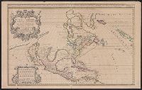
- Beinecke Rare Book and Manuscript Library > La Louisiana, parte settentrionalle ... descritta e dedicata dal P. cosmografo Coronelli ...
- Creator:
- Berry, William, fl. 1669-1708
- Published / Created:
- 1680
- Call Number:
- 71 1680
- Container / Volume:
- BRBL_00360
- Image Count:
- 1
- Resource Type:
- Maps, Atlases & Globes
- Found in:
- Beinecke Rare Book and Manuscript Library > North America divided into its principall parts where are distinguished the severall states which belong to the English, Spanish, and French / described by Sanson ; corrected and amended by William Berry.