Search
You Searched For
Search Results
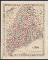
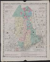
- Creator:
- G.W. & C.B. Colton & Co
- Published / Created:
- [1884]
- Call Number:
- 761 1884
- Container / Volume:
- BRBL_00447
- Image Count:
- 1
- Resource Type:
- Maps, Atlases & Globes
- Found in:
- Beinecke Rare Book and Manuscript Library > Colton's Maine / published by G.W. and C.B. Colton & Co.
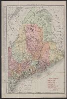
- Creator:
- Rand McNally and Company
- Published / Created:
- c1911.
- Call Number:
- 761gme 1911
- Container / Volume:
- BRBL_00449
- Image Count:
- 1
- Resource Type:
- Maps, Atlases & Globes
- Found in:
- Beinecke Rare Book and Manuscript Library > Maine / Rand McNally & Co.
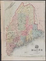
- Creator:
- Coolidge, A. J. (Austin Jacobs)
- Published / Created:
- 1859
- Call Number:
- 761 1859
- Container / Volume:
- BRBL_00447
- Image Count:
- 1
- Resource Type:
- Maps, Atlases & Globes
- Found in:
- Beinecke Rare Book and Manuscript Library > Maine 1859.
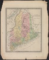
- Published / Created:
- [1831?]
- Call Number:
- 761 1831
- Container / Volume:
- BRBL_00447
- Image Count:
- 1
- Resource Type:
- Maps, Atlases & Globes
- Found in:
- Beinecke Rare Book and Manuscript Library > Maine.
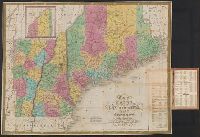
- Creator:
- Mitchell, S. Augustus (Samuel Augustus), 1792-1868
- Published / Created:
- 1831
- Call Number:
- 76 1831A
- Container / Volume:
- BRBL_00444
- Image Count:
- 1
- Resource Type:
- Maps, Atlases & Globes
- Found in:
- Beinecke Rare Book and Manuscript Library > Map of Maine, New Hampshire, and Vermont / compiled from the latest authorities.
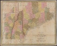
- Creator:
- Mitchell, S. Augustus (Samuel Augustus), 1792-1868
- Published / Created:
- 1847
- Call Number:
- 76 1847A
- Container / Volume:
- BRBL_00445
- Image Count:
- 1
- Resource Type:
- Maps, Atlases & Globes
- Found in:
- Beinecke Rare Book and Manuscript Library > Map of Maine, New Hampshire, and Vermont : compiled from the latest authorities / published by S. Augustus Mitchell ; J.H. Young Sc. ; sold by Thomas, Cowperthwait & Co.
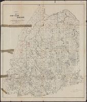
- Creator:
- Frink, Harry Arthur
- Published / Created:
- [1897?]
- Call Number:
- 761 1897
- Container / Volume:
- BRBL_00448
- Image Count:
- 1
- Resource Type:
- Maps, Atlases & Globes
- Found in:
- Beinecke Rare Book and Manuscript Library > Map of northern Maine : specially adapted to the uses of lumbermen and sportsmen / issued by the Bangor & Aroostook R.R. ; compiled & copyrighted 1897 by Harry A. Frink, C.E.
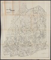
- Published / Created:
- 1860
- Call Number:
- 761gme 1860
- Container / Volume:
- BRBL_00449
- Image Count:
- 1
- Resource Type:
- Maps, Atlases & Globes
- Found in:
- Beinecke Rare Book and Manuscript Library > Map of the Eastern part of Maine : showing the settling land in Piscataquis and Aroostook counties with the proposed lines of rail roads to promote the sale and settlement of public lands & land owned by individuals, also rail road communication with the
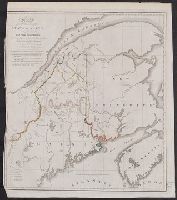
- Published / Created:
- 1830
- Call Number:
- 761 1830
- Container / Volume:
- BRBL_00729
- Image Count:
- 1
- Resource Type:
- Maps, Atlases & Globes
- Found in:
- Beinecke Rare Book and Manuscript Library > Map of the Northern part of the state of Maine and of the adjacent British provinces, showing the portion of that state to wich Great britain lays claim, reduced from the latest surveys by S.L. Dashiell ...