Search
You Searched For
Search Results
- Creator:
- Royal Geographical Society (Great Britain). Geographical Section, cartographer
- Call Number:
- 11hcf 1919E-23
- Container / Volume:
- BRBL_00010ZA
- Image Count:
- 1
- Resource Type:
- Maps, Atlases & Globes
- Found in:
- Beinecke Rare Book and Manuscript Library > Milano [cartographic material] : North L. 32. / compiled at the Royal Geographical Society under the direction of the Geographical Section; drawn and printed by Ordnance Survey.
- Creator:
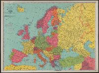
- Rand McNally and Company
- Published / Created:
- [n.d.]
- Call Number:
- 30 1920E
- Container / Volume:
- BRBL_00032A
- Image Count:
- 2
- Resource Type:
- Maps, Atlases & Globes
- Found in:
- Beinecke Rare Book and Manuscript Library > Rand McNally standard map of Europe.
- Creator:
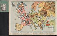
- Johnson, Riddle & Co
- Published / Created:
- [191-]
- Call Number:
- 30 191X
- Container / Volume:
- BRBL_00032
- Image Count:
- 2
- Resource Type:
- Maps, Atlases & Globes
- Found in:
- Beinecke Rare Book and Manuscript Library > Serio-comique map of Europe at war : hark! hark! the dogs do bark! / designed and printed by Johnson & Riddle Co. ; with a note by Walter Emanuel.
- Published / Created:
- 191-.
- Call Number:
- 11hcf 1919A-7
- Container / Volume:
- BRBL_00010N
- Image Count:
- 2
- Resource Type:
- Maps, Atlases & Globes
- Found in:
- Beinecke Rare Book and Manuscript Library > Atlas Vidal Lablache : Carte politique de l'Asie.
- Published / Created:
- 191-.
- Call Number:
- 11hcf 1919A-31
- Container / Volume:
- BRBL_00010N
- Image Count:
- 2
- Resource Type:
- Maps, Atlases & Globes
- Found in:
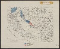
- Beinecke Rare Book and Manuscript Library > [Italian claims along the Adriatic Sea.]
- Published / Created:
- 191-.
- Call Number:
- 11hcf 1919-10
- Image Count:
- 1
- Resource Type:
- Maps, Atlases & Globes
- Found in:
- Beinecke Rare Book and Manuscript Library > Voies ferrees a la disposition des forces Américaines.
- Published / Created:
- 191-.
- Call Number:
- 11hc 1915R
- Container / Volume:
- BRBL_00010C
- Image Count:
- 2
- Resource Type:
- Maps, Atlases & Globes
- Found in:
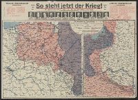
- Beinecke Rare Book and Manuscript Library > [So steht jetzt der Krieg!] : Kriegsoperationskarte über alle Kriegsschauplätze der welt.
- Creator:
- Tanaka, Ryōzō
- Published / Created:
- [1914?]
- Call Number:
- 13am 1914
- Container / Volume:
- BRBL_00011
- Image Count:
- 1
- Resource Type:
- Maps, Atlases & Globes
- Found in:
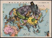
- Beinecke Rare Book and Manuscript Library > The illustration of the Graet European War. No. 16.
- Creator:
- Denoyer-Geppert Company
Harding, Samuel Bannister, 1866-1927
- Published / Created:
- c1914.
- Call Number:
- 30fab 1914
- Container / Volume:
- BRBL_00037B
- Image Count:
- 1
- Resource Type:
- Maps, Atlases & Globes
- Found in:
- Beinecke Rare Book and Manuscript Library > Europe in 1914 before the Great War / by Samuel B. Harding ; L. Philip Denoyer, geographer ; compiled and drawn by R. Baxter Blair.
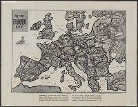
- Creator:
- Zimmermann, E
- Published / Created:
- [1914]
- Call Number:
- 30an 1914C
- Container / Volume:
- BRBL_00037A
- Image Count:
- 1
- Resource Type:
- Maps, Atlases & Globes
- Found in:
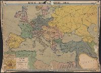
- Beinecke Rare Book and Manuscript Library > Satyrische Europa Karte, Weltkrieg 1914 / Zeichnung u. Entwurf, E. Zimmermann.