Search
You Searched For
Search Results
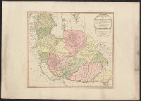
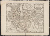
- Published / Created:
- 1794
- Call Number:
- 534 1794
- Container / Volume:
- BRBL_00289
- Image Count:
- 1
- Resource Type:
- Maps, Atlases & Globes
- Subject (Geographic):
- Iran--Maps--Early works to 1800
- Found in:
- Beinecke Rare Book and Manuscript Library > A New Map of the Empire of Persia from Monsr. DAnville ... with several Additions and Emendations.
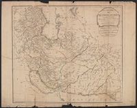
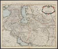
- Creator:
- L'Isle, Guillaume de, 1675-1726
- Published / Created:
- 1711
- Call Number:
- 53 1711
- Container / Volume:
- BRBL_00684
- Image Count:
- 1
- Resource Type:
- Maps, Atlases & Globes
- Alternative Title:
- Map of Turkey, Arabia & Persia
- Subject (Geographic):
- Iran--Maps--Early works to 1800
- Found in:
- Beinecke Rare Book and Manuscript Library > A map of Turky [sic] Arabia & Persia : corrected from the latest travels and from the observations of the Royal Societys of London and Paris / by G. De L'Isle.
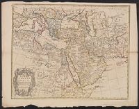
- Creator:
- Jefferys, Thomas, -1771.
- Published / Created:
- [1748]
- Call Number:
- BrSides Folio 2017 11
- Image Count:
- 1
- Resource Type:
- Maps, Atlases & Globes
- Description:
- portions of Iraq and Iran.
- Subject (Geographic):
- Africa--Maps--Early works to 1800.
- Found in:
- Beinecke Rare Book and Manuscript Library > Africa [cartographic material] / drawn from the best maps by T. Jefferys, Geographer to his Royal Highness the Prince of Wales.
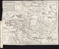
- Call Number:
- 1976 1233
- Collection Title:
- Forty-two new maps of Asia, Africa, and America ... : all engrav’d, according to the latest
- Image Count:
- 1
- Description:
- Table of contents for maps 2-20 in
- Subject (Geographic):
- Iran --Maps --Early works to 1800
- Found in:
- Beinecke Rare Book and Manuscript Library > Asiae antiquissimae ...
- Published / Created:
- 1724
- Call Number:
- 534 1724
- Container / Volume:
- BRBL_00289
- Image Count:
- 1
- Resource Type:
- Maps, Atlases & Globes
- Subject (Geographic):
- Iran--Maps--Early works to 1800
- Found in:
- Beinecke Rare Book and Manuscript Library > Carte de Perse ... Par G. Delisle ... Gravé par P. Starck-man.
- Published / Created:
- [1724?]
- Call Number:
- 534 1724A
- Container / Volume:
- BRBL_00289
- Image Count:
- 1
- Resource Type:
- Maps, Atlases & Globes
- Description:
- Title at the top of the map: Nova et
- Subject (Geographic):
- Iran--Maps--Early works to 1800
- Found in:
- Beinecke Rare Book and Manuscript Library > Carte de Perse ... Par G. de l'Isle ... Gravé par J. Stemmers.
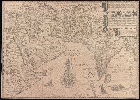
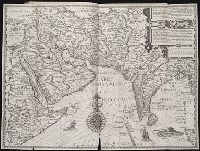
- Creator:
- Linschoten, Jan Huygen van, 1563-1611
- Published / Created:
- [1596?]
- Call Number:
- BrSides Folio 2019 95
- Image Count:
- 1
- Resource Type:
- Maps, Atlases & Globes
- Subject (Geographic):
- Iran--Maps--Early works to 1800.
- Found in:
- Beinecke Rare Book and Manuscript Library > Deliniantur in hac tabula, Orae maritimae Abexiae, freti Mecani ; al. Maris Rubri ; Arabiae, Ormi, Persiae, suprà Sindam usque Fluminis Indi, Cambaiae Indiae & Malabaris, Insulae Ceylon, Choromandeliae, & Orixae, fluvii Gangis, & Regni Bengalae, situs item Sinuum, Insularum ... = Afbeeldinge der custen van Abex, der engte van Mecha, anders ghenaempt de Roode Zee, Item de custen van Arabien, Ormus, Persen tot Sinde toe / [Jan Huygen van Linschoten, Henricus F. ab Langren].
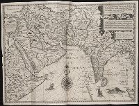
- Creator:
- Langren, Arnold Florent van, 1580-1644
- Published / Created:
- [1596]
- Call Number:
- Pequot +L65
- Collection Title:
- Nauigatio ac itinerarium Iohannis Hugonis Linscotani in Orientalem siue Lusitanorum Indiam
- Image Count:
- 1
- Description:
- Map has small tear along top center
- Subject (Geographic):
- Iran --Maps --Early works to 1800
- Found in:
- Beinecke Rare Book and Manuscript Library > Deliniantur in hac tabula, Orae maritimae Abexiae, freti Mecani. al. Maris Rubri. Arabiae Freti Mecani. al Maris Rubri ...
- Published / Created:
- [1596]
- Call Number:
- Taylor 219
- Collection Title:
- Navigatio ac itinerarivm Iohannis Hvgonis Linscotani in Orientalem sive Lvsitanorvm Indiam
- Image Count:
- 1
- Description:
- Map has significant tear along bottom
- Subject (Geographic):
- Iran --Maps --Early works to 1800
- Found in:
- Beinecke Rare Book and Manuscript Library > Deliniantur in hac tabula, Orae maritimae Abexiae, freti Mecani. al. Maris Rubri. Arabiae Freti Mecani. al Maris Rubri ...