Search
You Searched For
Search Results
- Published / Created:
- [1590-1599?]
- Call Number:
- Beinecke MS 1191
- Image Count:
- 2
- Resource Type:
- Maps, Atlases & Globes
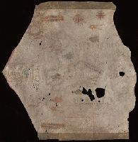
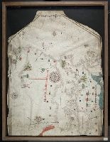
- Abstract:
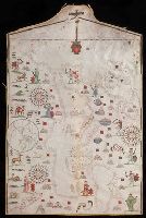
- Manuscript portolan chart, on parchment
- Description:
- the top of the portolan; three compass
- Found in:
- Beinecke Rare Book and Manuscript Library > Portolano for the western Mediterranean.
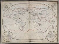
- Published / Created:
- 1643
- Call Number:
- 11 1643
- Container / Volume:
- BRBL_00700
- Image Count:
- 1
- Resource Type:
- Maps, Atlases & Globes
- Found in:
- Beinecke Rare Book and Manuscript Library > [Portolan chart of the World].
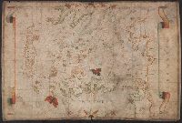
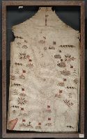
- Published / Created:
- [approximately 1600?]
- Call Number:
- Art Storage 986
- Image Count:
- 2
- Resource Type:
- Maps, Atlases & Globes
- Description:
- Portolan chart with seaport names given
- Found in:
- Beinecke Rare Book and Manuscript Library > Portolan chart of the Mediterranean Sea.
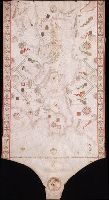
- Published / Created:
- [1550?]
- Call Number:
- 488 1550
- Container / Volume:
- BRBL_00706
- Image Count:
- 1
- Resource Type:
- Maps, Atlases & Globes
- Found in:
- Beinecke Rare Book and Manuscript Library > [Portolan chart of the Aegean Sea].
- Creator:
- Villarroel, Domingo, cartographer.
- Call Number:
- Manuscript 49 1577
- Image Count:
- 2
- Resource Type:
- Maps, Atlases & Globes
- Found in:
- Beinecke Rare Book and Manuscript Library > Portolan chart of the Mediterranean and Black Seas.
- Published / Created:
- 1590
- Call Number:
- 49cea 1590
- Image Count:
- 2
- Resource Type:
- Maps, Atlases & Globes
- Found in:
- Beinecke Rare Book and Manuscript Library > [Portolan chart of the Mediterranean Sea and Europe].
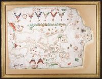
- Creator:
- Oliva, Joan, active 1580-1615, cartographer.
- Published / Created:
- [approximately 1587]
- Call Number:
- Art Storage 49cea 1587
- Image Count:
- 2
- Resource Type:
- Maps, Atlases & Globes
- Description:
- Portolan chart with seaport names given
- Found in:
- Beinecke Rare Book and Manuscript Library > [Portolan chart of the Mediterranean Sea and the Baltic Sea].
- Creator:
- Maggiolo, Vesconte, active 1504-1549.
- Call Number:
- Art Storage 1980 156
- Image Count:
- 2
- Resource Type:
- Maps, Atlases & Globes
- Description:
- Portolan chart with seaport names given
- Found in:
- Beinecke Rare Book and Manuscript Library > [Portolan chart of the Mediterranean Sea, the North Atlantic Ocean, the Baltic Sea, and the West African coast].
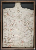
- Creator:
- Oliva, Joan, active 1580-1615.
- Published / Created:
- 1594
- Call Number:
- Art Storage 30cea 1594
- Image Count:
- 2
- Resource Type:
- Maps, Atlases & Globes
- Description:
- Portolan chart with seaport names given
- Found in:
- Beinecke Rare Book and Manuscript Library > [Portolan chart of the Mediterranean Sea, the North Atlantic Ocean, the Baltic Sea, and the northwestern African coast].
- Creator:
- Aguilar, Jorge de.
- Published / Created:
- no anno dominus nostris Jh[es]u Xpi de 1492.
- Call Number:
- Art Storage 30cea 1492
- Image Count:
- 2
- Resource Type:
- Maps, Atlases & Globes
- Description:
- Portolan chart with seaport names given
- Found in:
- Beinecke Rare Book and Manuscript Library > Portolan chart of the Mediterranean Sea, the North Atlantic Ocean, the Black Sea, and the West African coast as far south as Sierra Leone.