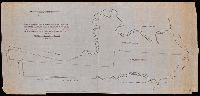
Search
You Searched For
Search Results
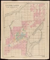
- Published / Created:
- [approximately 1900?]
- Call Number:
- BrSides Double Folio 2018 102
- Image Count:
- 1
- Resource Type:
- Maps, Atlases & Globes
- Found in:
- Beinecke Rare Book and Manuscript Library > [Partial cadastral map of the Province of Ontario in Canada].
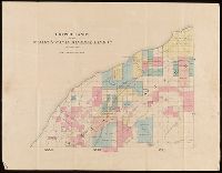
- Published / Created:
- [1859?]
- Call Number:
- BrSides Folio 2018 134
- Image Count:
- 1
- Resource Type:
- Maps, Atlases & Globes
- Found in:
- Beinecke Rare Book and Manuscript Library > Copper lands of St. Mary's Canal Mineral Land Co. shaded red.
- Published / Created:
- [1859?]
- Call Number:
- BrSides Folio 2018 136
- Image Count:
- 1
- Resource Type:
- Maps, Atlases & Globes
- Found in:
- Beinecke Rare Book and Manuscript Library > Copper lands of St. Mary's Canal Mineral Land Co. shaded red.
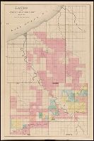
- Published / Created:
- [1859?]
- Call Number:
- BrSides Folio 2018 135
- Image Count:
- 1
- Resource Type:
- Maps, Atlases & Globes
- Found in:
- Beinecke Rare Book and Manuscript Library > Lands of the St. Mary's Canal Mineral Land Co. shaded red.
- Published / Created:
- [1859?] and [between 1880 and 1889?]
- Call Number:
- BrSides Folio 2018 138
- Image Count:
- 1
- Resource Type:
- Maps, Atlases & Globes
- Found in:
- Beinecke Rare Book and Manuscript Library > Map of a portion of Point Keweenaw, L.S. : showing the lands &c. of the Pennsylvania & Delaware Mining Co's.
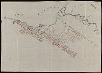
- Published / Created:
- [1872?]
- Call Number:
- BrSides Folio 2018 139
- Image Count:
- 1
- Resource Type:
- Maps, Atlases & Globes
- Found in:
- Beinecke Rare Book and Manuscript Library > [Map of Thunder Bay District, Canada, showing silver lands owned by Peter Mitchell & others, Sept. 7th, 1872].
- Creator:
- Denton, D. S., Jr., cartographer.
- Published / Created:
- [1907]
- Call Number:
- BrSides Double Folio 2018 88
- Image Count:
- 1
- Resource Type:
- Maps, Atlases & Globes
- Found in:
- Beinecke Rare Book and Manuscript Library > Map of Meadow Land at Ocean side in the town of Hempstead Nassau County, N.Y. belonging to the estate of Lewis Davison Dec'd and the estate of Tredwell Davison dec'd / surveyed in March 1907, by DS Denton, Jr.
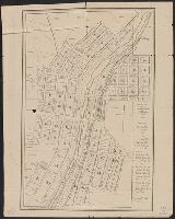
- Published / Created:
- 1852
- Call Number:
- 804 C991 1852
- Container / Volume:
- BRBL_00544
- Image Count:
- 1
- Resource Type:
- Maps, Atlases & Globes
- Found in:
- Beinecke Rare Book and Manuscript Library > Map of the town of Cuyahoga Falls Ohio.
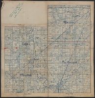
- Published / Created:
- 1890
- Call Number:
- 804fa Au421 1890
- Container / Volume:
- BRBL_00545
- Image Count:
- 1
- Resource Type:
- Maps, Atlases & Globes
- Found in:
- Beinecke Rare Book and Manuscript Library > [Map of Auglaize County, Ohio].
- Creator:
- Ireland, J. B. (Jerome Bonaparte), 1879-
- Published / Created:
- [1950?]
- Call Number:
- 836 Sa37 1858
- Container / Volume:
- BRBL_00592
- Image Count:
- 1
- Resource Type:
- Maps, Atlases & Globes
- Found in:
- Beinecke Rare Book and Manuscript Library > Pioneer map showing lot locations of first pioneer owners in the five-acre plat "A" portion of the Big Field Survey, Great Salt Lake City / drawn by J. B. Ireland.