
Search


Limit your search
- Public49
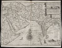
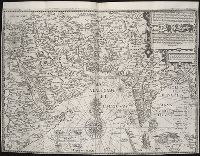
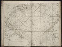
- Engravings✖[remove]49
- Maps49
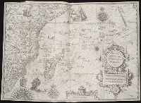
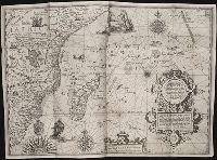
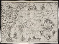
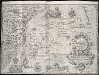
- Maps in books49
- Hand coloring19
- Atlases13
- Marginalia7
- Prints (Visual works)6
- Woodcuts3
- Autographs1
- Langren, Arnold Florent van, 1580-16447
- Blaeu, Joan, 1596-1673, creator4
- Hase, Johann Matthias, 1684-17423
- Homann Erben (Firm)3
- Sayer, Robert, 1725-17943
- Anville, Jean Baptiste Bourguignon d', 1697-17822
- Beckit, Robert, engraver2
- Berry, William, fl. 1669-1708, creator2
- Delarochette, L. (Louis), 1731-1802, creator2
- Rogers, William, b. ca. 1545, engraver2
- Navigation --Early works to 180013
- Pilot guides --Atlantic Coast (U.S.) --Early works to 180013
- Pilot guides --Caribbean Area --Early works to 180013
- Voyages and travels --Early works to 180011
- Atlases --Early works to 18005
- Atlases, German --Early works to 18002
- Coasts --Africa, North --Maps --Early works to 18001
- Coasts --Africa, West --Maps --Early works to 18001
- Coasts --Portugal --Maps --Early works to 18001
- Coasts --Spain --Maps --Early works to 18001