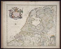
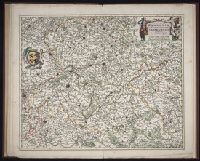
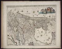
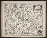
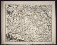
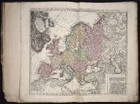
Twenty four new and accurate maps of the several parts of Europe ... : all (except the last) new
Image Count:
1
Alternative Title:
Europe in particular
Description:
In pencil on verso: 2.
Subject (Geographic):
Europe --Maps --Early works to 1800
Subject (Name):
Barker, B. (Benjamin), d. 1764, bookseller, Clements, Henry, d. 1719, bookseller, King, Charles, d. 1735, bookseller, Nicholson, John, d. ca. 1717, bookseller, Parker, Richard, fl. 1692-1725, bookseller, and Tooke, Benjamin, d. 1716, bookseller
Subject (Topic):
Atlases --Early works to 1800
Collection Created:
[London] : Sold by J. Nicholson at the King’s-Arms in Little Britain, Benj. Barker and Charles King ..., Benj. Tooke ..., Hen. Clements ..., R. Parker and Ralph Smith under the Royal-Exchange ..., [1715?]
Also appeared in Faden's [General atlas. London : William Faden, 1811?]., Hand-coloring of political borders differ from 1982 Folio 10, no. 20., No. 20 of 43 maps bound together in composite atlas., No. 21 of 43 maps bound together in composite atlas., Relief shown pictorially., and Scale [ca. 1:2,150,000].
Publisher:
William Faden
Subject (Geographic):
Europe --Maps --Early works to 1800, Germany --Administrative and political divisions --Maps --Early works to 1800, and Germany --Maps --Early works to 1800