
Search


Limit your search
- Illustrations✖[remove]236
- Maps✖[remove]236
- Maps in books174
- Engravings134
- Prints (Visual works)65
- Hand coloring38
- Intaglio prints29
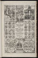
- Manuscripts29
- Drawings16
- Illuminated manuscripts15
- Cosmography18
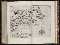
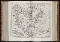
- Early maps15
- Geography, Medieval15
- Atlases--Early works to 180011
- Geography--Early works to 180010
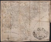
- Gold mines and mining --California --History --19th century --Personal narratives9
- Gold mines and mining --North America --History --19th century9
- Gold mines and mining --Sierra Nevada (Calif. and Nev.)9
- Gold mines and mining --United States --History9
- Gold mines and mining --West (U.S.) --History --19th century9
- Bruff, Joseph Goldsborough, 1804-18899
- Pelletier, David9
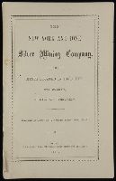
- Washington City and California Mining Association9
- Alcala-Galiano, Dionisio, 1760-18055
- Mexicana (Ship)5
- Navarrete, Martin Fernandez de, 1765-18445
- Sutil (Ship)5
- Valdes Flores Bazan y Peon, Cayetano, 1767-18355
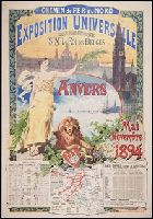
- Exposition universelle internationale de 1900 (Paris, France)4
- Bry, Theodor de, 1528-15983