
Search


Limit your search
- Public✖[remove]37
- Sotzmann, D. F11
- Homann Erben (Firm)5
- Leuthold, H. F5
- Ebeling, Christophe Daniel, 1741-1817. Erdbeschreibung und Geschichte von Amerika3
- Bohn, Carl Ernst, publisher2
- Sander, Wilhelm, 1766-1836, engraver2
- Blaeu, Willem Janszoon, 1571-1638, cartographer1
- Bohn, Carl Ernst1
- Freytag, Berndt und Artaria1
- Gea verlag1
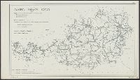
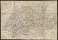
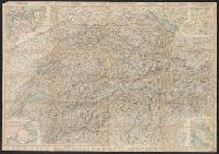
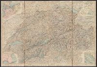
- Roads--Switzerland--Maps5
- Atlases --Early works to 18001
- Germans --Texas1
- Germans--Czech Republic--Bohemia--Maps1
- Germans--Czech Republic--Sudetenland--Maps1
- Gold mines and mining--South Africa--Witwatersrand--Maps1
- Mining leases--South Africa--Witwatersrand--Maps1
- Real property--South Africa--Witwatersrand--Maps1
- Roads--Austria--Maps1
- Roads--Romania--Lugoj Region--Maps1
- Ebeling, Christophe Daniel, 1741-1817. Erdbeschreibung und Geschichte von Amerika6
- Anville, Jean Baptiste Bourguignon d', 1697-17825
- Bressanini5
- Homann Erben (Firm). Atlas geographicus maior5
- Mullhaupt5
- Sander, Wilhelm, 1766-1836, engraver4
- Bohn, Carl Ernst3
- Bohn, Carl Ernst, publisher3
- Ebeling, Christoph Daniel,--1741-1817--Presentation inscription to N. Webster2
- Abraham, Felix. Neue Aera der Witwatersrand-Goldindustrie. 18941