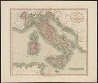
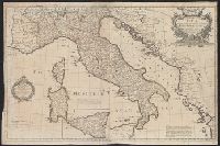
Date from entry in catalog of the Royal Geographical Society., Includes table "Methodical division of Italy.", Includes texts within the map explaining various political divisions and their histories., Includes three bar scales, onl, and Relief shown pictorially.
Publisher:
John Bowles ... and Carrington Bowles,
Subject (Geographic):
Italy--Maps--Early works to 1800
Subject (Name):
Bowles, Carington, 1724-1793, Bowles, John, 1701-1779, Kitchin, Thomas, d. 1784, and Palairet, Jean, 1697-1774
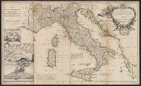
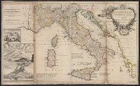
"C. Price delin. I. Senex sculp"., Appears in Senex's A new general atlas, 1721., Decorative title cartouche, with classical figures., Dedicated to Humphrey Mackworth., Imperfect: mutilated, with some loss of text; "C. Prince delin." scratched out. Ms. no. on verso: 19. Backed with paper. Sheet measures 69 x 97 cm. Cross Collection no. 94., London meridian., Relief shown pictorially., and Shows boundaries, rivers, roads, and settlements.
Publisher:
John Senex],
Subject (Geographic):
Italy--Maps--Early works to 1800
Subject (Name):
Mackworth, Humphrey, Sir, 1657-1727, dedicatee, Price, Charles, fl. 1700-1707, and Senex, John, d. 1740. New general atlas
Dedication under coat of arms inscribed Honi Soit Qui Mal y Pense: To His Most Sacred Majesty George by the grace of God King of Great Britain, France and Ireland &c. this map is most humbly dedicated by His Majesty's most loyal & obedient subject and ser
Publisher:
Robt. Sayer at the Golden Buck in Fleet Street,
Subject (Geographic):
Italy--Administrative and political divisions--Maps--Early works to 1800 and Italy--Maps--Early works to 1800
Subject (Name):
Overton, Henry, 1675 or 6-1751 and Sayer, Robert, 1725-1794
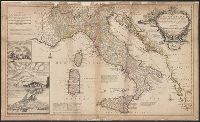
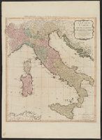
"Note: the post roads in this map are taken from Iacobo Cantelli da Vignola the Duke of Modena's geographer.", *40 1714: verso: stamped "Yale UL"; dgvmp2008., and Includes inset views of Caesium, Vesuvius, Aetna.
Publisher:
printed for H. Moll...Ino. Bowles...T. Bowles...Philip Overton,
Subject (Geographic):
Italy--Maps--Early works to 1800 and Mediterranean Region--Maps--Early works to 1800
Subject (Name):
Bowles, John, 1701-1779, Bowles, Thomas, -1767, Cantelli da Vignola, Giacomo, 1643-1719, and Overton, Philip, -1751
Carte de l'Italie et de touts ses routes de poste, à l'usage de voyageurs
Description:
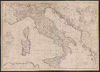
Appears in Laurie and Whittle, A new universal atlas, 1796, plate 16., Horizontal fold at middle of map and guard on verso., Includ, Relief shown pictorially., and Sheet measures 72 x 54 cm. Stamp on verso: Karpinski-von Wieser Map Collection. dgvmp2008.
Publisher:
Laurie & Whittle,
Subject (Geographic):
Italy--Maps--Early works to 1800
Subject (Name):
Anville, Jean Baptiste Bourguignon d', 1697-1782 and Robert Laurie and James Whittle