
Search


Limit your search
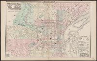
- Public23
- Leuthold, H. F5
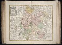
- Homann Erben (Firm)3
- Lowitz, G. M. (George Moritz), 1722-17742
- Mitchell, John, 1711-17682
- Freytag, Berndt und Artaria1
- Guessefeld, F. L. (Franz Ludwig), 1744-18071
- Guessefeld, Franz Ludwig, 1744-18081
- Gussefeld, F. L. (Franz Ludwig), 1744-18071
- Hase, Johann Matthias, 1684-17421
- Homanniorum Heredum1
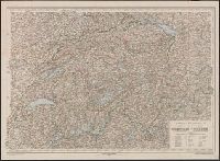
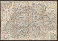
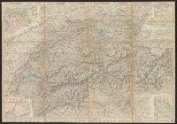
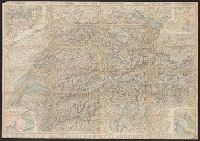
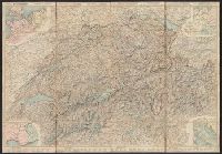
- Roads--Switzerland--Maps5
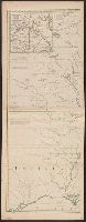
- British--America--Maps--Early works to 18002
- Atlases, German --Early works to 18001
- Imaginary places--Aerial views--Early works to 18001
- Post roads--France--Maps1
- Post roads--Germany--Maps1
- Post roads--Italy--Maps1
- Postal service--France--Maps1
- Postal service--Germany--Maps1
- Postal service--Italy--Maps1
- Bressanini5
- Mullhaupt5
- Hawkins, M., fl. 1776-17922
- Le Rouge, Georges-Louis2
- Botte, Antonio Federico1
- Dietrich Reimer Verlag (Berlin, Germany)1
- Fürstlich Oettingen-Wallerstein'sche Bibliothek in Seyfriedsberg Stamp1
- Hase, Johann Matthias, 1684-17421
- Homann Erben (Firm)1
- Netherlands. Nationaal Bureau voor Toerisme1