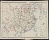
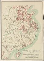
"Reprinted from the China Handbook 1937-1943, compiled by the Ministry of Information and published by the Macmillan Company, New York." and Includes three inset maps.
Covers eastern China, southward from Chahar-Jehol (present Inner Mongolia) to Hainan and eastward from Szechwan to East China Sea., Includes inset showing China/Burma border area., Relief shown by hachure, and Shows Chinese territories under Japanese occupation.
Publisher:
Chinese Ministry of Information,
Subject (Geographic):
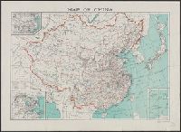
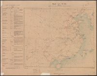
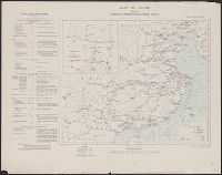
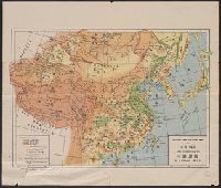
China--Maps
Subject (Topic):
Sino-Japanese War, 1937-1945--Occupied territories--Maps
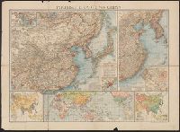
Insets: Canton und Umgebung, 1:2,000,000 -- Asien: Volksdichte, 1:80,000,000 -- Hauptzufahrtswege nach China -- Asien: Völker -- Umgebung von Peking, 1:1,500,000 -- Plan von Peking -- Landes-Hauptstadt, 1:7,500,000 -- Kiau-Tschou-Gebeit.