Search
You Searched For
Search Results
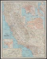
- Creator:
- National Geographic Society (U.S.). Cartographic Section
- Published / Created:
- 1954
- Call Number:
- 844 1954
- Container / Volume:
- BRBL_00603
- Image Count:
- 1
- Resource Type:
- Maps, Atlases & Globes
- Found in:
- Beinecke Rare Book and Manuscript Library > A map of California : with descriptive notes / compiled and drawn in the Cartographic Section of the National Geographic Society ; James M. Darley, chief cartographer.
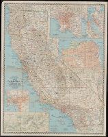
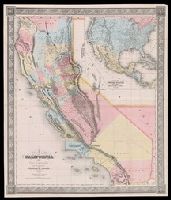
- Creator:
- Gibbes, Charles Drayton
- Published / Created:
- 1852
- Call Number:
- 844 1852A
- Container / Volume:
- BRBL_00601
- Image Count:
- 1
- Resource Type:
- Maps, Atlases & Globes
- Found in:
- Beinecke Rare Book and Manuscript Library > A new map of California / by Charles Drayton Gibbes, from his own and other recent surveys and explorations.
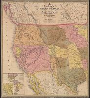
- Published / Created:
- 1849
- Call Number:
- 80 1849D
- Container / Volume:
- BRBL_00533
- Image Count:
- 1
- Resource Type:
- Maps, Atlases & Globes
- Found in:
- Beinecke Rare Book and Manuscript Library > A new map of Texas, Oregon, and California : with the regions adjoining.
- Creator:
- Ransom, Leander, 1800-1874
- Published / Created:
- 1863
- Call Number:
- 844 1863
- Container / Volume:
- BRBL_00602
- Image Count:
- 1
- Resource Type:
- Maps, Atlases & Globes
- Found in:
- Beinecke Rare Book and Manuscript Library > A new map of the state of California and Nevada Territory : exhibiting the rivers, lakes, bays and islands, with the principal towns, roads, railroads, and transit routes to the silver mining districts of Nevada Territory ... / carefully compiled ... by L
- Creator:
- Ransom, Leander, 1800-1874
- Published / Created:
- 1870
- Call Number:
- 844 1870
- Container / Volume:
- BRBL_00602
- Image Count:
- 1
- Resource Type:
- Maps, Atlases & Globes
- Found in:
- Beinecke Rare Book and Manuscript Library > A new map of the states of California and Nevada : exhibiting the rivers, lakes, bays, and islands, with the principal towns, roads, railroads and transit routes to the silver mining districts of Nevada Territory, also meridian, standard, range and townsh
- Creator:
- Ransom, Leander, 1800-1874
- Published / Created:
- 1867
- Call Number:
- 844 1867
- Container / Volume:
- BRBL_00602
- Image Count:
- 1
- Resource Type:
- Maps, Atlases & Globes
- Found in:
- Beinecke Rare Book and Manuscript Library > A new map of the states of California and Nevada : exhibiting the rivers, lakes, bays, and islands, with the principal towns, roads, railroads, and transit routes to the silver mining districts; also meridian, standard, range and township lines as establi
- Creator:
- H.H. Bancroft and Company
- Published / Created:
- 1864
- Call Number:
- 844 1864
- Container / Volume:
- BRBL_00602
- Image Count:
- 1
- Resource Type:
- Maps, Atlases & Globes
- Found in:
- Beinecke Rare Book and Manuscript Library > Bancroft's map of California, Nevada, Utah and Arizona.
- Creator:
- A.L. Bancroft & Company
- Published / Created:
- 1876
- Call Number:
- 844 1876D
- Container / Volume:
- BRBL_00603
- Image Count:
- 1
- Resource Type:
- Maps, Atlases & Globes
- Found in:
- Beinecke Rare Book and Manuscript Library > Bancroft's map of California, Nevada, Utah and Arizona.
- Published / Created:
- [1850?]
- Call Number:
- 844 1850A
- Container / Volume:
- BRBL_00601
- Image Count:
- 1
- Resource Type:
- Maps, Atlases & Globes
- Found in:
- Beinecke Rare Book and Manuscript Library > Californie aurifère : carte officielle, dressée d'aprés les ordres du Sénat, après l'annexion de cette province aux États-Unis / A. Girod, invt. ; Pellée, delt.