Search
You Searched For
Search Results
- Call Number:
- 774 B856 1820
- Container / Volume:
- BRBL_00499
- Image Count:
- 1
- Resource Type:
- Maps, Atlases & Globes
- Found in:
- Beinecke Rare Book and Manuscript Library > A map of Buck Mountain coal company mines exhibiting their relative position to the Lehigh slack water navigation and the different coal mines now opened in the region. Drawn by A.L. Foster of J. Collins 1820 (?) Lith.
- Creator:
- Howell, Reading, 1743-1827
- Published / Created:
- 1811
- Call Number:
- 774 1811
- Container / Volume:
- BRBL_00498
- Image Count:
- 1
- Resource Type:
- Maps, Atlases & Globes
- Found in:
- Beinecke Rare Book and Manuscript Library > A map of the state of Pennsylvania / [cartographic material] / by Reading Howell, MDCCCXI ; engraved by J. Vallance.
- Creator:
- Howell, Reading, 1743-1827
- Published / Created:
- 1816
- Call Number:
- 774 1816
- Container / Volume:
- BRBL_00498
- Image Count:
- 1
- Resource Type:
- Maps, Atlases & Globes
- Found in:
- Beinecke Rare Book and Manuscript Library > A map of the state of Pennsylvania / [cartographic material] / by Reading Howell, MDCCCXVI ; published by Emmor Kimber.
- Published / Created:
- 1857
- Call Number:
- 774 1857
- Container / Volume:
- BRBL_00498
- Image Count:
- 1
- Resource Type:
- Maps, Atlases & Globes
- Found in:
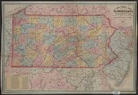
- Beinecke Rare Book and Manuscript Library > A new county map of Pennsylvania and adjoining states showing the route of the rail roads, &c.
- Published / Created:
- [1875?]
- Call Number:
- 774J 1875
- Container / Volume:
- BRBL_00502
- Image Count:
- 1
- Resource Type:
- Maps, Atlases & Globes
- Found in:
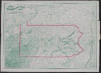
- Beinecke Rare Book and Manuscript Library > An Historical map of Pennsylvania showing the Indian Names of Streams and Villages, and paths of travel; The Sites of Old Forts and Battle Fields; The Sucessive Purchases from the Indians; and the names and dates of Counties and County Towns, with Tables
- Creator:
- Colton, G. Woolworth (George Woolworth), 1827-1901
- Published / Created:
- 1866
- Call Number:
- 774 1866
- Container / Volume:
- BRBL_00498
- Image Count:
- 1
- Resource Type:
- Maps, Atlases & Globes
- Found in:
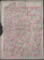
- Beinecke Rare Book and Manuscript Library > Colton's new township map of the western counties of Pennsylvania.
- Published / Created:
- 1865
- Call Number:
- 774GBC 1865A
- Container / Volume:
- BRBL_00501
- Image Count:
- 1
- Resource Type:
- Maps, Atlases & Globes
- Found in:
- Beinecke Rare Book and Manuscript Library > Hunt's improved map of Vanango County oil regions.
- Creator:
- Sheafer, P. W. (Peter Wenrick), 1819-
- Published / Created:
- 1867
- Call Number:
- 774G 1867
- Container / Volume:
- BRBL_00501
- Image Count:
- 1
- Resource Type:
- Maps, Atlases & Globes
- Found in:
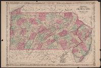
- Beinecke Rare Book and Manuscript Library > Iron, railroad, canal and coal map of Pennsylvania, &c. : showing the relative position of the various anthracite and bituminous coal fields, the railroads, canals and navigable waters by which they are connected forming their respective avenues to market
- Creator:
- Johnson, A. J. (Alvin Jewett), 1827-1884
- Published / Created:
- [1864].
- Call Number:
- 774 1866A
- Container / Volume:
- BRBL_00498
- Image Count:
- 2
- Resource Type:
- Maps, Atlases & Globes
- Found in:
- Beinecke Rare Book and Manuscript Library > Johnson's Pennsylvania and New Jersey.
- Published / Created:
- 1864
- Call Number:
- 774GBC 1864A
- Container / Volume:
- BRBL_00501
- Image Count:
- 1
- Resource Type:
- Maps, Atlases & Globes
- Found in:
- Beinecke Rare Book and Manuscript Library > Lloyd's map of the great oil region of Allegheny River, Cherry and Cherry-Tree Runs, and Pithole Creek : in Cornplanter, Cherry-Tree and Allegheny Townships, Venango County.