Search
You Searched For
Search Results
- Published / Created:
- [1798?]
- Call Number:
- 327 1798
- Container / Volume:
- BRBL_00073
- Image Count:
- 1
- Resource Type:
- Maps, Atlases & Globes
- Found in:
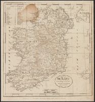
- Beinecke Rare Book and Manuscript Library > A Map of Ireland according to the best authorities. Engraved for Plowden's Historical Review of the State of Ireland.
- Published / Created:
- [1793?]
- Call Number:
- 802 1793
- Container / Volume:
- BRBL_00542
- Image Count:
- 1
- Resource Type:
- Maps, Atlases & Globes
- Found in:
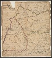
- Beinecke Rare Book and Manuscript Library > A Map of Kentucky, Drawn from Actual Observations. By John Filson.
- Published / Created:
- 1831
- Call Number:
- 764 M52 1831
- Container / Volume:
- BRBL_00458
- Image Count:
- 1
- Resource Type:
- Maps, Atlases & Globes
- Found in:
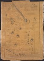
- Beinecke Rare Book and Manuscript Library > A Map of Mendon, Worcester County, Mass. By John Geo. Metcalf, M.D. Newell nelson, Surveyor.
- Creator:
- Tanner, Henry Schenck, 1786-1858
- Published / Created:
- 1822
- Call Number:
- 2003 Folio 81
- Collection Title:
- The New American Atlas ...
- Container / Volume:
- No. IV [4]
- Image Count:
- 1
- Found in:
- Beinecke Rare Book and Manuscript Library > A Map of North America, Constructed According to the Latest Information by H. S. Tanner
- Published / Created:
- [1681]
- Call Number:
- 774 1681
- Container / Volume:
- BRBL_00497
- Image Count:
- 3
- Resource Type:
- Maps, Atlases & Globes
- Found in:
- Beinecke Rare Book and Manuscript Library > A Map of Some of the South and east bounds of Pennsylvania in America ... Sold by John Thornton ... and by John Seller ... London.
- Published / Created:
- [1795]
- Call Number:
- 90 1795A
- Container / Volume:
- BRBL_00661
- Image Count:
- 1
- Resource Type:
- Maps, Atlases & Globes
- Found in:
- Beinecke Rare Book and Manuscript Library > A Map of South America According to the best Authorities.
- Published / Created:
- [1834?]
- Call Number:
- 764 SP33 1834
- Container / Volume:
- BRBL_00459
- Image Count:
- 1
- Resource Type:
- Maps, Atlases & Globes
- Found in:
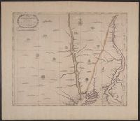
- Beinecke Rare Book and Manuscript Library > A Map of Spencer, Mass. ... by William Baldwin. 1834.
- Published / Created:
- 1755
- Call Number:
- 32 Sa25 1755
- Container / Volume:
- BRBL_00054
- Image Count:
- 1
- Resource Type:
- Maps, Atlases & Globes
- Found in:
- Beinecke Rare Book and Manuscript Library > A Map of St. Sepulchers without Charterhouse Liberty and Clarken Well Parish ... for Ston's Survey.
- Published / Created:
- 1755
- Call Number:
- 771ad Al13 1755
- Container / Volume:
- BRBL_00714
- Image Count:
- 1
- Resource Type:
- Maps, Atlases & Globes
- Found in:
- Beinecke Rare Book and Manuscript Library > A Map of a Tract of 13,000 Acres of Land in the County of Albany on the West Side of Canyadarge Lake granted to David Schuyler and others the 3 June 1755 ... Thomas Palmer, Surv.
- Published / Created:
- [1775?]
- Call Number:
- 76cea 1775
- Container / Volume:
- BRBL_00446
- Image Count:
- 1
- Resource Type:
- Maps, Atlases & Globes
- Found in:
- Beinecke Rare Book and Manuscript Library > A Map of the Coast of New England from Staten Island of Breton; as if was actualy survey'd by Capt. Cyprian Southback.