
Search


Limit your search
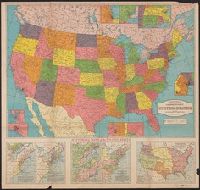
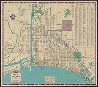
- Public105
- H.M. Gousha Company10
- Rand McNally and Company5
- Survey of India3
- American Geographical Society of New York2
- Edinburgh Geographical Institute2
- Geological Survey (U.S.)2
- Alberta. Dept. of Public Works1
- Arti grafiche Pizzi & Pizio1
- Automobile Association (Great Britain). Touring Dept1
- Bartholomew, J. G. (John George), 1860-19201
- Maps--Facsimiles3
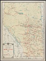
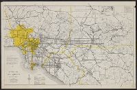
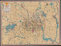
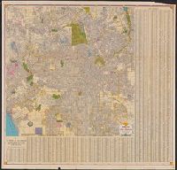
- Roads--California--Los Angeles Metropolitan Area--Maps3
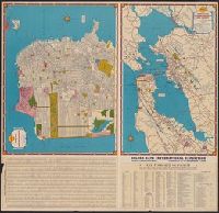
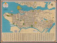
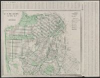
- Streets--California--San Francisco--Maps3
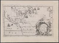
- Maps--Early works to 1800--Facsimiles2
- Street-railroads--California--San Francisco--Maps2
- Streets--California--Los Angeles--Maps2
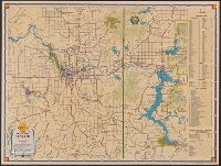
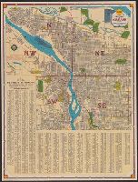
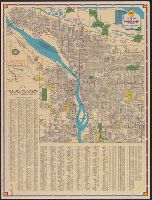
- Streets--Oregon--Portland--Maps2
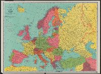
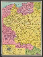
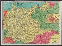
- World War, 1914-1918--Europe--Maps2
- World War, 1939-1945--Europe, Central--Maps2
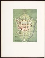
- World's fairs2
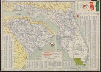
- Shell Union Oil Corporation4
- Shell Oil Company3
- Dinsmore, A. F2
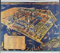
- Golden Gate International Exposition (1939-1940 : San Francisco, Calif.)2
- United States. Post Office Dept2
- Alcuin Society1
- American Geographical Society of New York1
- Automobile Club of Southern California1
- Bernardi, Zaccaria1
- Burrard, Sidney Gerald, Sir, 1860-1