Skip to search
Skip to main content
Skip to first result
Search
You Searched For
Date
1835 - 1835
Genre
Maps
Date Created
1835
New Search
Search Results
Published / Created:
1835
Call Number:
755 1835A
Container / Volume:
BRBL_00440
Image Count:
1
Resource Type:
Maps, Atlases & Globes
Subject (Geographic):
East (U.S.)--Maps
Found in:
Beinecke Rare Book and Manuscript Library > A map of a portion of the Indian Country lying east and west of the Mississippi river to the forty sixth degree of north latitude from ... observation ... 1835 ... U.S. Top. Bureau.
Published / Created:
1728 [1874]
Call Number:
771 N49 1728F
Container / Volume:
BRBL_00484
Image Count:
1
Resource Type:
Maps, Atlases & Globes
Description:
"Facsimile from an original Map of New York in 1728, Published by F.B. Patterson, ... 1874."
Publisher:
Wm. Bradford,
Subject (Geographic):
New York (N.Y.)--Maps--Early works to 1800
Found in:
Beinecke Rare Book and Manuscript Library > A plan of the City of New York from an actual Survey made by James Lyne.
Creator:
Published / Created:
1835]
Call Number:
814 M667 1835
Container / Volume:
BRBL_00558
Image Count:
1
Resource Type:
Maps, Atlases & Globes
Alternative Title:
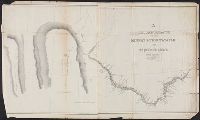
Chrrah tanka; the Great Hills or Coteau De Prairie. and Minnay shoshoh chrray; or Great Hills of the Missouri.
Description:
Includes Indian and French terms., Includes maps of "Minnay shoshoh chrray; or Great Hills of the Missouri," and "Chrrah tanka; the Great Hills or Coteau De Prairie.", Relief shown by hachures., and Shows points of interest and topography.
Publisher:
s.n.,
Subject (Geographic):
Minnesota River (S.D. and Minn.)--Maps
Found in:
Beinecke Rare Book and Manuscript Library > A reconnoissance of the Minnay Sotor Watapāh; or St. Peter's River to its sources / made in the year 1835 by G.W. Featherstonhaugh, U.S. geologist.
Published / Created:
[18--]
Call Number:
26 1860
Container / Volume:
BRBL_00022
Image Count:
1
Resource Type:
Maps, Atlases & Globes
Alternative Title:
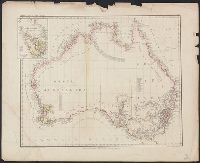
Karte v. Festland Australia and Karte v[on] Festland Australia
Description:
Inset: Van Diemens Land.
Publisher:
Verlag der Rubach'schen Buchhandlung (E Fabricius),
Subject (Geographic):
Australia--Maps and Tasmania--Maps
Found in:
Beinecke Rare Book and Manuscript Library > Abtheilung V. Karte v[on] Festland Australia / lith. u. gedr. im geog. lith. Institut v. Albr. Platt.
Published / Created:
1835
Call Number:
52 1835
Container / Volume:
BRBL_00282
Image Count:
1
Resource Type:
Maps, Atlases & Globes
Description:
Insets: Mecca, Jidda, Medina, El Derreyeh, Mochha, Djidda-Mekka-Taife.
Publisher:
J. Perthes,
Subject (Geographic):
Arabian Peninsula--Maps
Found in:
Beinecke Rare Book and Manuscript Library > Arabia und das Nil Land ... / gest. v. Adolph Maedel in Weimar.
Published / Created:
[18--]
Call Number:
50J 1650
Container / Volume:
BRBL_00274
Image Count:
1
Resource Type:
Maps, Atlases & Globes
Description:
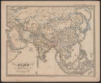
Spruner's Historical Atlas.
Publisher:
Justus Perthes,
Subject (Geographic):
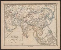
Asia--Maps--Early works to 1800
Found in:
Beinecke Rare Book and Manuscript Library > Asien am Angange des XVIIten Jahrhunderts ...
Published / Created:
[18--]
Call Number:
50J 1775
Container / Volume:
BRBL_00274
Image Count:
1
Resource Type:
Maps, Atlases & Globes
Description:
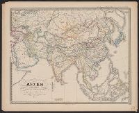
Spruner's Historical Atlas.
Publisher:
Justus Perthes,
Subject (Geographic):
Asia--Maps--Early works to 1800
Found in:
Beinecke Rare Book and Manuscript Library > Asien gegen Ende des XVIIIten Jahrhunderts ... C. Stier sc.
Published / Created:
[18--]
Call Number:
50J 450
Container / Volume:
BRBL_00274
Image Count:
1
Resource Type:
Maps, Atlases & Globes
Description:
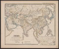
Spruner's Historical Atlas.
Publisher:
Justus Perthes,
Subject (Geographic):
Asia--Maps--Early works to 1800
Found in:
Beinecke Rare Book and Manuscript Library > Asien gegen die Mitte des Fünften Jahrhunderts ...
Published / Created:
[18--]
Call Number:
50J 1150
Container / Volume:
BRBL_00274
Image Count:
1
Resource Type:
Maps, Atlases & Globes
Description:
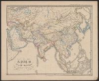
Spruner's Historical Atlas.
Publisher:
Justus Perthes,
Subject (Geographic):
Asia--Maps--Early works to 1800
Found in:
Beinecke Rare Book and Manuscript Library > Asien im XIten und XIIten Jahrhunderts ... Mädel II sc.
Published / Created:
[18--]
Call Number:
50J 675
Container / Volume:
BRBL_00274
Image Count:
1
Resource Type:
Maps, Atlases & Globes
Description:
Inset: Hochasien um die Mitte des VIten Jahrhunderts.
Publisher:
Justus Perthes,
Subject (Geographic):
Asia--Maps--Early works to 1800
Found in:
Beinecke Rare Book and Manuscript Library > Asien vom VIten bis in die erste Hälfte des IXten Jahrhunderts ...
Branch:v1.61.6 ,Deployed:2024-06-12T09:55:19-04:00