Search
You Searched For
Search Results
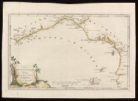
- Creator:
- Anville, Jean Baptiste Bourguignon d', 1697-1782, cartographer.
- Published / Created:
- 1781
- Call Number:
- BrSides Folio 2017 19
- Image Count:
- 1
- Resource Type:
- Maps, Atlases & Globes
- Subject (Geographic):
- Africa, West--Maps--Early works to 1800.
- Subject (Topic):
- Coasts--Africa, West--Maps--Early works
- Found in:
- Beinecke Rare Book and Manuscript Library > Carta della bassa Guinea tra il capo tres puntas, e l'equatore / di Mr. d'Anville.
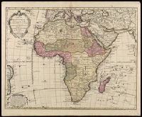
- Creator:
- Jefferys, Thomas, -1771.
- Published / Created:
- [1748]
- Call Number:
- BrSides Folio 2017 11
- Image Count:
- 1
- Resource Type:
- Maps, Atlases & Globes
- Subject (Geographic):
- Africa--Maps--Early works to 1800.
- Found in:
- Beinecke Rare Book and Manuscript Library > Africa [cartographic material] / drawn from the best maps by T. Jefferys, Geographer to his Royal Highness the Prince of Wales.
- Creator:
- L'Isle, Guillaume de, 1675-1726.
- Published / Created:
- 1730
- Call Number:
- 60 1730
- Image Count:
- 1
- Resource Type:
- Maps, Atlases & Globes
- Subject (Geographic):
- Africa--Maps--Early works to 1800.
- Found in:
- Beinecke Rare Book and Manuscript Library > Carte d'Afrique / dressée pour l'usage du Roy par Guillaume Delisle, premier geographe de sa Majesté, de l'aacademie [sic] royale des sciences.
- Creator:
- Wit, Frederik de
- Published / Created:
- [1688?]
- Call Number:
- BrSides Double Folio 2019 114
- Image Count:
- 1
- Resource Type:
- Maps, Atlases & Globes
- Subject (Geographic):
- Africa--Maps--Early works to 1800.
- Found in:
- Beinecke Rare Book and Manuscript Library > Totius Africae accuratissima tabula [cartographic material] : denuo correcte revisa multis locis aucta, in partes tam maiores quam minores divisa / per F. de Witt.
- Creator:
- Seutter, Matthaeus, 1678-1756, cartographer.
- Published / Created:
- after 1741]
- Call Number:
- 60 1735
- Container / Volume:
- BRBL_00323
- Image Count:
- 1
- Resource Type:
- Maps, Atlases & Globes
- Subject (Geographic):
- Africa--Maps--Early works to 1800.
- Found in:
- Beinecke Rare Book and Manuscript Library > Africa iuxta navigationes et observationaes recentissimas aucta, correcta et in sua regna et status divisa / in lucem edita a Matth. Seuttero, s. Caes. maj. geographo aug.
- Creator:
- Bowen, Emanuel, 1693 or 1694-1767, cartographer.
- Published / Created:
- [1747]
- Call Number:
- 655 1747
- Container / Volume:
- BRBL_00345
- Image Count:
- 1
- Resource Type:
- Maps, Atlases & Globes
- Subject (Geographic):
- Africa, West--Maps--Early works to 1800.
- Found in:
- Beinecke Rare Book and Manuscript Library > A new & accurate map of Negroland and the adjacent countries : also Upper Guinea, shewing the principal European settlements, & distinguishing w[hi]ch belong to England, Denmark, Holland &c., the sea coast & some of the rivers being drawn from surveys & t
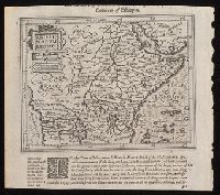
- Creator:
- Hondius, Jodocus, 1563-1612, cartographer.
- Published / Created:
- [1625]
- Call Number:
- BrSides Box 2019 15
- Image Count:
- 2
- Resource Type:
- Maps, Atlases & Globes
- Subject (Geographic):
- Africa, Central--Maps--Early works to
- Found in:
- Beinecke Rare Book and Manuscript Library > Abissinorum Regnu[m].
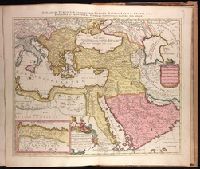
- Creator:
- Sanson, Nicolas, 1600-1667, cartographer.
- Published / Created:
- ca. 1702?]
- Call Number:
- 1973 Folio 18
- Image Count:
- 1
- Resource Type:
- Maps, Atlases & Globes
- Subject (Geographic):
- Africa, North--Maps--Early works to
- Found in:
- Beinecke Rare Book and Manuscript Library > [Est]ats de L'Empire du Grand Seigneur des Turcs Europe, en Asie, et en Afrique [cartographic material] : divise en tous ses Beglerbeglicz ou Gouvernements ou sont aussi remarques les Estats qui luy sont Tributaires dresse sur les plus nouvelles relations / par le Sr. Sanson ...