Skip to search
Skip to main content
Skip to first result
Search
You Searched For
"Latin"
Access
Public
Resource Type
Maps, Atlases & Globes
Language
English
New Search
Search Results
Creator:
Published / Created:
1904
Call Number:
70gme 1904
Container / Volume:
BRBL_00359
Image Count:
1
Resource Type:
Maps, Atlases & Globes
Description:
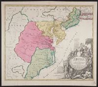
In bottom margin: Andrew B. Graham, photo-litho, Washington, D.C., In English and Spanish., and Prime meridians: Greenwich and Paris.
Publisher:
Andrew B. Graham?],
Subject (Name):
Andrew B. Graham Co, International American Conference (2nd : 1901-1902 : Mexico), Pan-American Railway--Maps, and Permanent Pan-American Railway Committee
Subject (Topic):
Railroads--Latin America--Maps
Found in:
Beinecke Rare Book and Manuscript Library > Intercontinental railway map : prepared under the direction of the permanent Pan American Railway Committee authorized by the Second International Conference of American States / M. Hendges.
Creator:
Published / Created:
1647. and 1906-1907.
Call Number:
32 L84 1647/1906
Container / Volume:
BRBL_00737
Image Count:
6
Resource Type:
Maps, Atlases & Globes
Description:
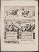
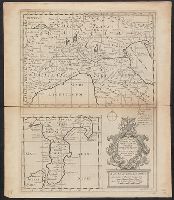
Includes text in Latin , inset view of
Publisher:
Cornelius Danckers, and London Topographical Society,
Subject (Geographic):
London (England)--Aerial views--Early works to 1800--Facsimiles and London (England)--Pictorial works--Early works to 1800--Facsimiles
Subject (Name):
Danckerts, Cornelis, 1561-1634 and London Topographical Society
Found in:
Beinecke Rare Book and Manuscript Library > London. Wenceslaus Hollar delineavit et fecit Londini et Antverpiæ, 1647.
Creator:
Published / Created:
172-?]
Call Number:
400 172X
Container / Volume:
BRBL_00232
Image Count:
1
Resource Type:
Maps, Atlases & Globes
Description:
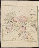
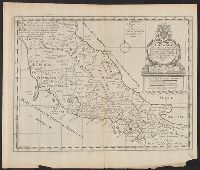
English, with Latin place names.
Publisher:
s.n.,
Subject (Geographic):
Italy--Historical geography--Maps--Early works to 1800, Italy--History--To 476--Maps--Early works to 1800, and Rome--Maps--Early works to 1800
Subject (Name):
Nicholls, Sutton and Wells, Edward, 1667-1727. New sett of maps both of antient and present geography
Found in:
Beinecke Rare Book and Manuscript Library > A new map of Gallia Cisalpina & Graecia Magna, shewing their cheif [sic] divisions, people, cities, towns &c. / Sutton Nicholls sculp.
Creator:
Published / Created:
172-?]
Call Number:
400 172XA
Container / Volume:
BRBL_00232
Image Count:
1
Resource Type:
Maps, Atlases & Globes
Description:
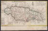
English, with Latin place names.
Publisher:
s.n.,
Subject (Geographic):
Italy--Historical geography--Maps--Early works to 1800, Italy--History--To 476--Maps--Early works to 1800, and Rome--Maps--Early works to 1800
Subject (Name):
Nicholls, Sutton and Wells, Edward, 1667-1727. New sett of maps both of antient and present geography
Found in:
Beinecke Rare Book and Manuscript Library > A new map of Latium, Etruria, and as much of antient Italy as lay between Gallia Cisalpina and Graecia Magna, shewing their principal divisions, cities, towns, rivers, mountains, &c. / Sutton Nicholls sculp.
Branch:v1.61.6 ,Deployed:2024-06-12T09:55:31-04:00