Search
You Searched For
Search Results
- Creator:
- Adam and Charles Black (Firm)
Aikman, George, engraver
Barlow, Peter, 1776-1862
- Published / Created:
- 1854]
- Call Number:
- 11 1854
- Container / Volume:
- BRBL_00009
- Image Count:
- 1
- Resource Type:
- Maps, Atlases & Globes
- Found in:
- Beinecke Rare Book and Manuscript Library > A chart of magnetic curves of equal variation / by Peter Barlow.
- Creator:
- Great Britain. War Office. General Staff. Geographical Section
- Published / Created:
- 1909
- Call Number:
- BrSides Double Folio 2018 95
- Image Count:
- 1
- Resource Type:
- Maps, Atlases & Globes
- Found in:
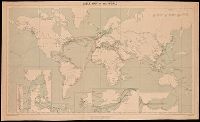
- Beinecke Rare Book and Manuscript Library > Cable map of the world [cartographic material].
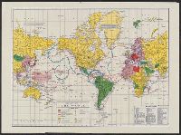
- Creator:
- Barber, John Warner, 1798-1885
Willard, Asaph, 1786-1880
Woodbridge, William C. (William Channing), 1794-1845
- Published / Created:
- 1821?]
- Call Number:
- 11e 1821B
- Container / Volume:
- BRBL_00007
- Image Count:
- 1
- Resource Type:
- Maps, Atlases & Globes
- Found in:
- Beinecke Rare Book and Manuscript Library > Chart of the inhabited world, exhibiting the prevailing religion,form of government, degree of civilization, & population of each country / engraved by A. Willard & J.W. Barber.
- Creator:
- Esso Marketers
Esso Standard Oil Company
General Drafting Company
- Published / Created:
- [1942?]
- Call Number:
- 11hd 1942
- Image Count:
- 2
- Resource Type:
- Maps, Atlases & Globes
- Found in:
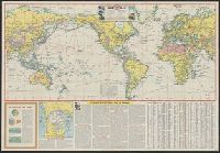
- Beinecke Rare Book and Manuscript Library > Esso war map, featuring transportation, the key to every successful campaign : edited and published by the makers of the well known Esso Road Maps / Esso Marketers.
- Published / Created:
- 1892.
- Call Number:
- 11 1892
- Image Count:
- 2
- Resource Type:
- cartographic image
- Found in:
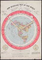
- Beinecke Rare Book and Manuscript Library > Gleason's new standard map of the world : on the projection of J.S. Christopher, Modern College, Blackheath, England ; scientifically and practically correct ; as "it is."
- Creator:
- Berghaus, Hermann, 1828-1890
- Published / Created:
- 1879
- Call Number:
- 11cbf 1879
- Container / Volume:
- BRBL_00010A
- Image Count:
- 1
- Resource Type:
- Maps, Atlases & Globes
- Found in:
- Beinecke Rare Book and Manuscript Library > Höhen und Tiefen der Erde / von Hermann Berghaus.
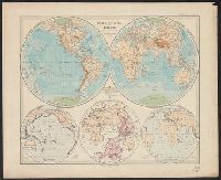
- Published / Created:
- 1866?]
- Call Number:
- 11 1866A
- Container / Volume:
- BRBL_00009
- Image Count:
- 2
- Resource Type:
- Maps, Atlases & Globes
- Found in:
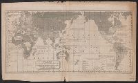
- Beinecke Rare Book and Manuscript Library > Johnson's World on Mercators projection / published by Johnson and Ward.
- Creator:
- Rand McNally and Company
- Published / Created:
- [1944?]
- Call Number:
- 11hc 1944C
- Image Count:
- 2
- Resource Type:
- Maps, Atlases & Globes
- Found in:
- Beinecke Rare Book and Manuscript Library > Military map of the world.
- Creator:
- Monk, Jacob
- Published / Created:
- 1854
- Call Number:
- 71 1854
- Container / Volume:
- BRBL_00371
- Image Count:
- 4
- Resource Type:
- Maps, Atlases & Globes
- Found in:
- Beinecke Rare Book and Manuscript Library > New map of that portion of North America, exhibiting the United States and territories, the Canadas, New Brunswick, Nova Scotia, and Mexico, also Central America, and the West India Islands : compiled from the most recent surveys, and other authentic sour
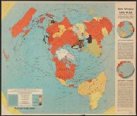
- Creator:
- Harrison, Richard Edes
Time, inc
- Published / Created:
- 1942
- Call Number:
- 11hd 1942C
- Container / Volume:
- BRBL_00010ZB
- Image Count:
- 1
- Resource Type:
- Maps, Atlases & Globes
- Found in:
- Beinecke Rare Book and Manuscript Library > One world, one war [cartographic material] : a map showing the line-up and the strategic stakes in this the first global war.