
Search


Limit your search
- Public18
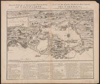
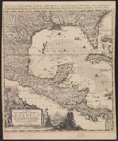
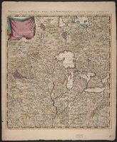
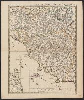
- Maps, Atlases & Globes✖[remove]18
- French✖[remove]18
- English6
- Dutch; Flemish2
- Cóvens et Mortier✖[remove]18
- L'Isle, Guillaume de, 1675-1726. Atlas nouveau9
- Condet, Johannes, 1711-1781, engraver6
- Gosse, Pierre, 1718-17943
- Kitchin, Thomas, 1718-1784, engraver3
- Millar, Andrew, 1707-17683
- Néaulme, Jean, 1694-17803
- Nourse, J. (John), -17803
- Rocque, John, -17623
- Condet, Johannes, 1711-17811
Current results range from 1720 to 1774