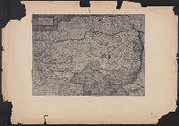
"Cum privilegio.", Appears in Justus Danckerts's Atlas editions after 1696; see Koeman, C. Atlantes Neerlandici, vol. III, Dan 3, Dan 4., Bar scales given in "milliaria Garmanica communia" and "milliaria Gallica"., Imperfect: slightly stained on recto and verso, with no loss of text. Backed with paper. Ms. no. in upper right corner: 26. Sheet measures 53.7 x 62.6 cm. No. 26 of 87 maps bound together., Prime meridian: Ferro., Relief shown pictorially., Watermark., and With inset map "Comit. Tirolis".
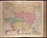
Backed with paper. Ms. no. "27" in upper right-hand corner. Sheet measures 52.7 x 53.7 cm. No. 27 of 87 maps bound together., Bar scales given in "milliaria Germanica" and "mill. Gallica"., Prime meridian: Ferro., and Relief shown pictorially.
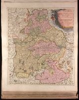
[Atlas factice of 50 maps, primarily by Johann Baptist Homann and/or issued by the Homann Erben
Image Count:
1
Alternative Title:
Cercle d’Autriche : consistant dans l’Archiduche d’Autriche, le Duche de Stirie, de Carinthie, de Carniole, dans la Comte de Tyrol, et les pais autrichiens anterieurs dans la Souabe, avec ses confins, Circulus Austriacus, and Circvlvs Avstriacvs
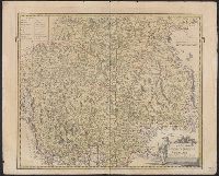
[Atlas factice of 42 maps, produced by the Homann Erben firm]
Image Count:
1
Alternative Title:
Cercle d’Autriche : consistant dans l’Archiduche d’Autriche, le Duche de Stirie, de Carinthie, de Carniole, dans la Comte de Tyrol, et les pais autrichiens anterieurs dans la Souabe, avec ses confins, Circulus Austriacus, and Circvlvs Avstriacvs
Bar scales given in "milliaria duo Germanica" and "milliaria Italica.", Hand colored. Stamp: Karpinski-von Wieser Map Collection. Manuscript notes in unidentified hand., Prime meridian: Ferro., and Relief shown pictorially.