Search
You Searched For
Search Results
- Published / Created:
- [1862?].
- Call Number:
- 754 1862A
- Container / Volume:
- BRBL_00416
- Image Count:
- 1
- Resource Type:
- Maps, Atlases & Globes
- Found in:
- Beinecke Rare Book and Manuscript Library > Lloyd's Military Map of the United States : showing the Grand Divisions of the Military Departments of the Army of the United States ...
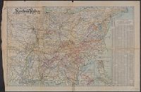
- Creator:
- Southern Railway (U.S.)
- Published / Created:
- 1909
- Call Number:
- 754gme 1909
- Container / Volume:
- BRBL_00420
- Image Count:
- 1
- Resource Type:
- Maps, Atlases & Globes
- Found in:
- Beinecke Rare Book and Manuscript Library > Map of the Southern Railway : Geographically correct. 1909.
- Creator:
- Wyld, James, 1812-1887
- Published / Created:
- [1862?]
- Call Number:
- 754 1861B
- Container / Volume:
- BRBL_00416
- Image Count:
- 1
- Resource Type:
- Maps, Atlases & Globes
- Found in:
- Beinecke Rare Book and Manuscript Library > Map of the southern states of North America with the forts, harbours & military positions James Wyld, Geographer to the Queen.
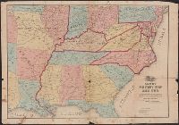
- Creator:
- Hergesheimer, E. (Edwin)
- Published / Created:
- 1861
- Call Number:
- 754EG 1861
- Container / Volume:
- BRBL_00419
- Image Count:
- 1
- Resource Type:
- Maps, Atlases & Globes
- Found in:
- Beinecke Rare Book and Manuscript Library > Map showing the distribution of the slave population of the southern states of the United States, compiled from the census of 1860 / drawn by E. Hergesheimer ; engr. by Th. Leonhardt.
- Creator:
- Schedler, J. (Joseph)
- Published / Created:
- [1875?]
- Call Number:
- 754 1875
- Container / Volume:
- BRBL_00417
- Image Count:
- 1
- Resource Type:
- Maps, Atlases & Globes
- Found in:
- Beinecke Rare Book and Manuscript Library > Military map of the middle and southern states showing the seat of war during the great rebellion in 1861 Drawn and engr. by J. Schedler ; Lith. of Sarony, Major & Knapp, N.Y.
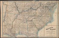
- Creator:
- Lindenkohl, A
- Published / Created:
- 1866
- Call Number:
- 754 1866
- Container / Volume:
- BRBL_00417
- Image Count:
- 1
- Resource Type:
- Maps, Atlases & Globes
- Found in:
- Beinecke Rare Book and Manuscript Library > The United States, southern part : from the latest surveys / by A. Lindenkohl ; lithogr. by H. Kölzsch & H. Lindenkohl.
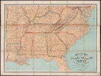
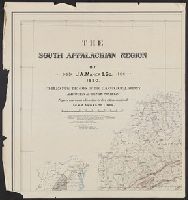
- Creator:
- Hays, John W. (John Willis)
- Published / Created:
- [1890]
- Call Number:
- 768CBF 1890
- Container / Volume:
- BRBL_00476
- Image Count:
- 4
- Resource Type:
- Maps, Atlases & Globes
- Found in:
- Beinecke Rare Book and Manuscript Library > The south Appalachian region / by J.A. Maher & Co., 1890 ; compiled from the maps of the U.S. Geological Survey and other authentic sources ; drawn by Jno. W. Hays ; Henry S. Selden, draftsman ; photo-lith. by A. Hoen & Co.
- Published / Created:
- 1861
- Call Number:
- 781GM 1861
- Container / Volume:
- BRBL_00506
- Image Count:
- 1
- Resource Type:
- Maps, Atlases & Globes
- Found in:
- Beinecke Rare Book and Manuscript Library > Transportation Routes in the Ante-Bellum South.
- Published / Created:
- Octr. 5th. 1809.
- Call Number:
- 75 1809
- Container / Volume:
- BRBL_00727
- Image Count:
- 1
- Resource Type:
- Maps, Atlases & Globes
- Found in:
- Beinecke Rare Book and Manuscript Library > United States of America, southern part.