Geological and Geographical Survey of the Territories (U.S.)
Published / Created:
1879
Call Number:
80cbj 1879
Container / Volume:
BRBL_00537
Image Count:
1
Resource Type:
Maps, Atlases & Globes
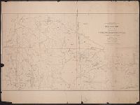
Description:
Relief shown by hachures and spot heights.
Publisher:
the Survey,
Subject (Geographic):
Green River Watershed (Wyo.-Utah)--Maps
Subject (Name):
Bechler, G. R, Chittenden, George B, Clark, Fred A, Gannett, Henry, 1846-1914, Hayden, F. V. (Ferdinand Vandeveer), 1829-1887, Julius Bien & Co, and Wilson, A. D. (Allen D.)
Subject (Topic):
Watersheds--Idaho--Maps, Watersheds--Utah--Maps, and Watersheds--Wyoming--Maps
Geological and Geographical Survey of the Territories (U.S.)
Published / Created:
1873?]
Call Number:
834bf 1873A
Container / Volume:
BRBL_00590
Image Count:
1
Resource Type:
Maps, Atlases & Globes
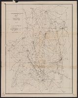
Description:
Relief shown by spot heights.
Publisher:
U.S. Geological and Geographical Survey of the Territories?,
Subject (Name):
Bechler, G. R, Gannett, Henry, 1846-1914, Gardiner, James T. (James Terry), 1842-1912, Hayden, F. V. (Ferdinand Vandeveer), 1829-1887, and Wilson, A. D. (Allen D.)